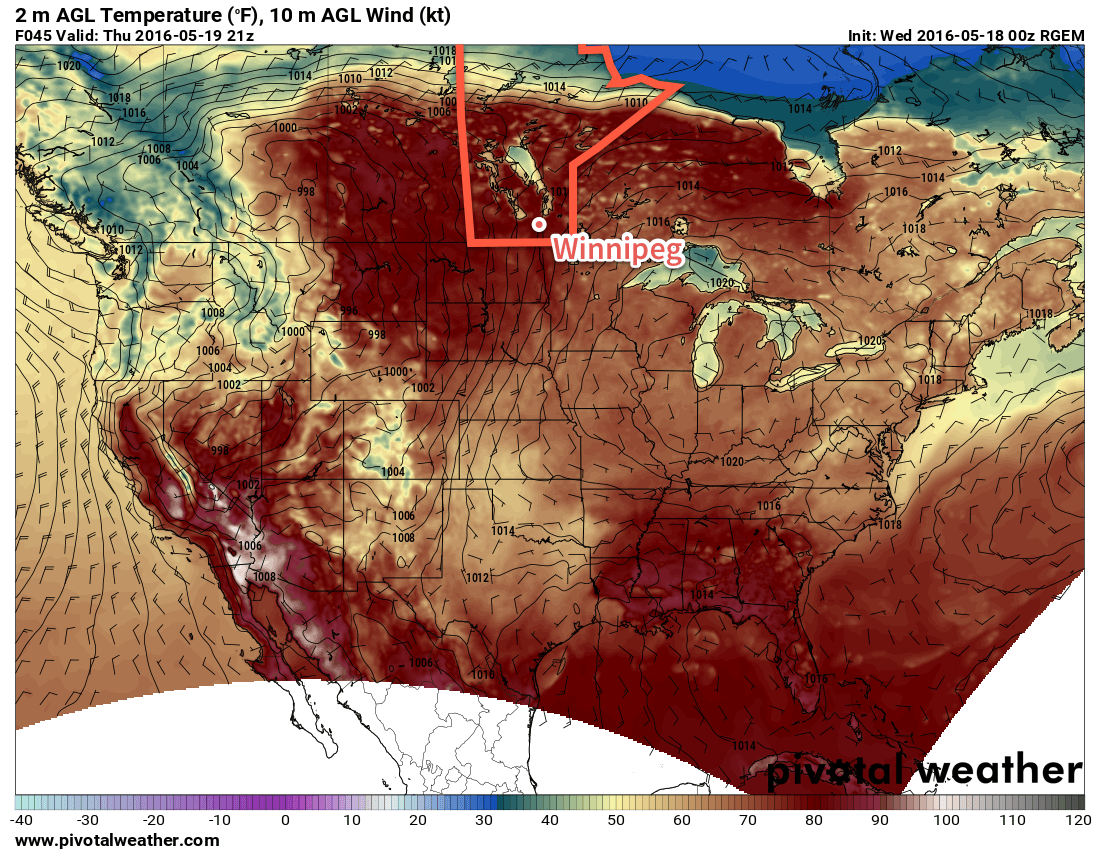
Winnipeg will see plenty of sun and warmth as the first deep southerly flow of the year develops this week, advecting warm and increasingly humid air northwards from the Great Plains of the United States into Manitoba.
The coming days will be bring beautiful summer weather with plenty of sunshine and temperatures soaring into the mid-20's. This afternoon will also bring breezy southerly winds to around 30-40km/h. We'll see just a few clouds today as a weak disturbance moving into Manitoba from the western Prairies slowly falls apart.

Thursday and Friday will both be sunnier days with winds out of the south at 20-30km/h. Thursday will be the windier of the two with gusts in the 40-50km/h range possible, while Friday will see winds more steady and a bit lighter. For both days, the high will be near 26 or 27°C.
Nights will be much milder than we've seen lately with overnight lows in the 12-15°C range.
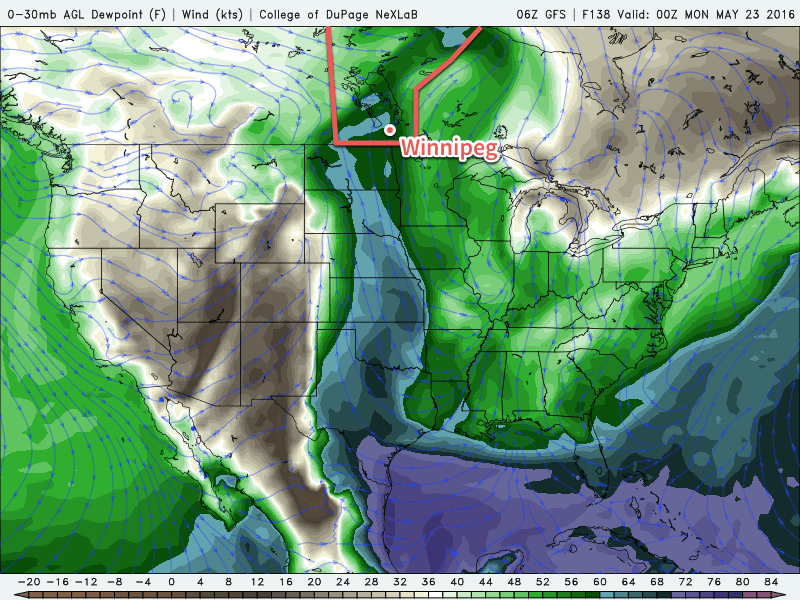
Of note, and a significant change from what we've seen so far this year, is that this prolonged period of southerly winds will finally bring some more humid air into the region as moisture from the Great Plains of the United States. By the end of Friday, dewpoints will have climbed from near 0°C into the upper single digits. While we won't notice a significant difference in how it feels, it will certainly alleviate some of the moisture stress for plants which could help improve the fire danger in the region.
Long Range: 2016's First Humid Days?
For the weekend, the weather will continue distinctly summery with high temperatures climbing into the upper 20's. Along with the continued warmth, those southerly winds will continue to push moisture northwards and begin pushing dewpoint values towards something that may actually begin to feel humid. By the end of Saturday, it is forecast that the dewpoint will climb to around 12-13°C which is a fairly typical summer value for the region. On Sunday, however, a surge of humidity is expected to push into Manitoba, bringing dewpoint values into the 15-17°C range, which will begin to feel a bit humid when combined with a high near 29°C.

With the humidity will also come unsettled weather. It's far to early to get into many specifics, but beginning on Sunday afternoon, the chance for thunderstorms will make an appearance across Southern Manitoba. Early indications are that there may be a slight chance for severe thunderstorms with a primary threat of severe hail. We'll be sure to keep an eye on things as they develop and provide a more in-depth outlook in our Friday post.
Winnipeg’s seasonal daytime high is currently 20°C while the seasonal overnight low is 6°C.
