Unsettled weather will continue through the weekend as multiple disturbances ripple across Southern Manitoba, bringing mixed skies alongside a few chances for rain.
Yet another round of nocturnal convection1 will roll through this morning just ahead of a weak cold front slowly pushing eastwards across the Red River Valley. As of writing this2 there is still some uncertainty as to how extensive the convection will become, but best indications are that we could see a few showers or thundershowers early this morning as a more intense area of convection passes to the south. After that, Winnipeg & the Red River Valley should see clearing skies through the morning, especially once the "cold" front moves through.
Behind the cold front, westerly winds will ease the humidity that has built into the region over the past two days as dew points drop from the upper teens back towards the 10°C mark. With drier weather and sunny skies, temperatures should climb to a high near 27 or 28°C throughout the Red River Valley with winds up to 20-30km/h out of the west-northwest. Expect partly cloudy skies overnight with a low near 15°C.
Saturday will bring more cloud to the region as mixed skies develop through the morning with a chance of some light shower activity through the Red River Valley. Things should clear out by the evening, and the late day sun should push us to a high near 26°C.

Winds will shift back around to the south late in the day, beginning to bring more humid air back into the region; with dew points expected to rise back into the mid-teens overnight, overnight lows will be kept fairly warm at around 17°C. We'll see a few clouds overnight.
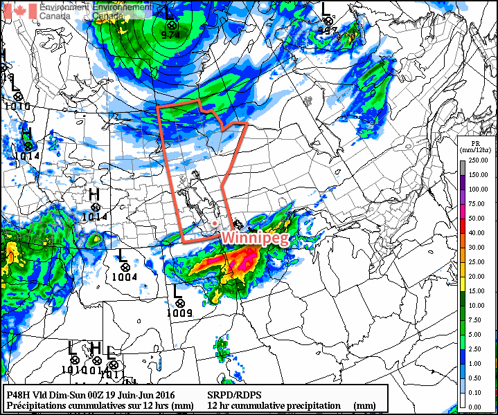
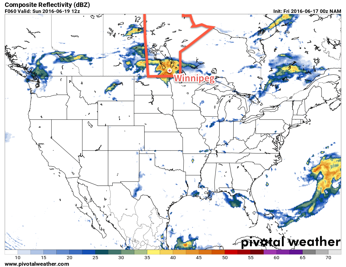
Sunday will see yet another disturbance move through the region bringing another chance of showers or thunderstorms. The main threat for precipitation will occur through the morning hours, followed by skies becoming mixed in the afternoon. Daytime highs should be around 26 or 27°C with muggy conditions in place much of the day as dew point values hover around 17°C. As skies clear, gusty winds will pick up out of the west to around 30 km/h.

Drier air will push in Sunday evening, helping overnight lows dip to a cooler 13°C or so with just a few clouds.
Long Range
Unfortunately, things don't look much better to start off next week. Another round of showers are possible late Monday through the overnight period as a disturbance slumps through from the northwest. Afterwards, though, it looks like we might see a few dry days with daytime highs ranging from the low 20's to the upper 20's.
