Very hot and humid conditions will stay in place over southern Manitoba today, but a cold front will sweep through tonight bringing a chance of thunderstorms and drier, cooler conditions.
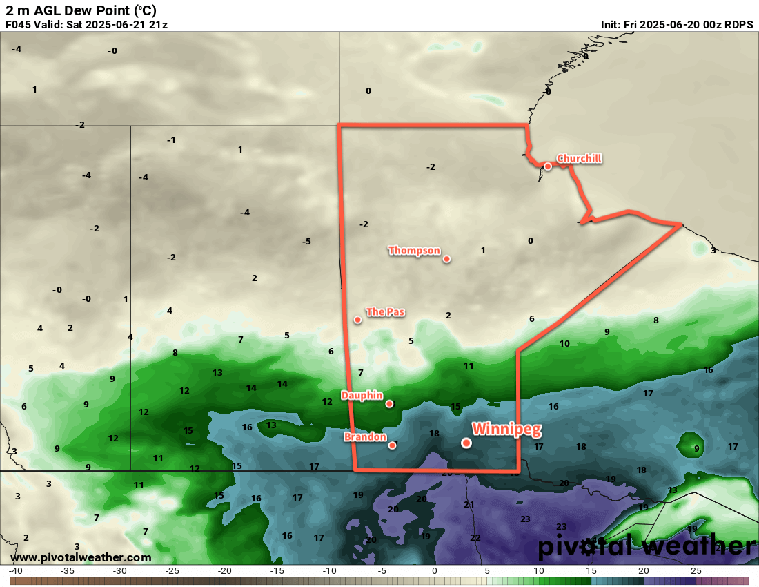
The hot and humid air mass that built into the region yesterday will stick around for another day today. Temperatures will climb to around 30 °C this afternoon while dew point values hover in the 20–23 °C range. The heat and humidity will combine to make it feel closer to 40 °C later today.
As is common with this weather, the region will see a risk of thunderstorms today. There may be a chance of showers or thunderstorms this morning, but that is dependent on how the activity that developed yesterday evening evolved through the night. After that, Winnipeg should see partly cloudy skies until the cold front approaches in the afternoon.
A chance of thunderstorms will redevelop this afternoon, and there will be a risk of severe thunderstorms. If any thunderstorms manage to reach severe criteria, the primary threats with them will likely be overland flooding from torrential rain and large hail. If there is plenty of morning activity, the risk for storms in Winnipeg in the afternoon will be lesser. If there’s little rain this morning, then the afternoon risk may increase.
The risk for thunderstorms will taper off in the evening as the cold front pushes southeast. Behind this front, humidity levels will decrease drastically with dew point values dropping to around 10 °C by Saturday morning. Temperatures will dip to the low to mid-teens by Saturday morning.
For the weekend, the weather pattern will be dominated by a broad area of high pressure that builds across the Prairies. It will bring cooler weather with daytime highs dropping into the low to mid-20s and overnight lows in the low teens. Unfortunately, we may have to deal with wildfire smoke at times as smoke from the numerous fires over the central Prairies is smeared through the region under the area of high pressure.
The region should see plenty of sunshine on Saturday, but may have to deal with more cloudiness on Sunday. A disturbance will be moving through North Dakota and may spread cloud north into southern Manitoba as it passes by.
Long Range Outlook
Looking ahead to next week, forecasts show the week starting with a low pressure system tracking into Manitoba on Monday. This system will likely bring widespread showers and/or thunderstorms to much of southern Manitoba as it passes through.
Conditions will settle for much of the rest of the week as an upper ridge builds over the Prairies. Temperatures will climb in response, heading back towards the low 30s later in the week, but fortunately the humidity doesn’t look like it will be as intense as with the current heat. The week may end with another chance of thunderstorms across the region.
Today’s seasonal daytime high in Winnipeg is 25 °C while the seasonal overnight low is 13 °C.