Our remarkably warm January weather will continue for at least a couple more days before some large-scale changes begin to reshape our weather for the rest of January. The weather for the second half of January will certainly be colder than the first half, but just how much colder?
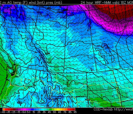
Temperatures will remain very warm to start the week. High temperatures on Monday will likely be in the mid single digits in much of Southern Manitoba. As a result, more temperature records will be threatened. Tuesday will also be unusually warm, but temperatures will be slightly lower, with highs closer to zero. The remainder of the week will be colder, with high temperatures for Wednesday through Friday being near to or slightly above normal (normal high being -13C). There is potential for some snow on Tuesday night into Wednesday with the passage of a low pressure system. Current indications suggest that we’ll see a few centimetres of snow from this system, but that could still change. We will continue to monitor this system and provide updates as we get more information.
Beyond this week the forecast becomes somewhat unclear. Most forecasts suggest that we’ll cool off significantly for the second half of January (see CPC outlook above). However, the extent of the cold weather is quite uncertain. We may have to deal with a so-called “roller-coaster pattern”, where big warm-ups are followed by big cool-downs. These roller-coaster patterns tend to bring a fair bit of snow, along with many days with gusty winds. As we move further into January the details will become clearer.

Many people are wondering what is causing this spell of remarkably warm weather in Southern Manitoba. The main reason for the really warm weather this past December (and early January) is the Arctic Oscillation. The AO, for short, is a cycle which helps forecasters determine whether cold air will be bottled up in the north, or be allowed to spill down into Central North America. For most of December the AO was strongly positive, meaning that arctic air was kept well to our north. Current modelling suggests that a switch to a negative phase of the AO is likely by mid to late January. Once the AO switches to negative, Southern Manitoba will finally be able to get some real winter weather.
UPDATE: 6 records fell across Manitoba today as most places enjoyed yet another mild day.
td { text-align: center; }
| Location | New Record |
Old Record |
Old Record Year |
| Brandon | 4.5 | 4.4 | 1986 |
| Gretna | 8.0 | 7.2 | 1958 |
| Island Lake | -0.2 | -0.6 | 2002 |
| Melita | 8.6 | 3.9 | 2006 |
| Sprague | 5.9 | 5.0 | 1958 |
| Thompson | -3.3 | -3.8 | 1983 |
All in all, 29 records were broken across the Prairies, with a majority of them happening in Alberta and Saskatchewan. Tomorrow will see another day of above-average temperatures in Southern Manitoba before cooler weather arrives on Wednesday.