Now that we’ve gotten our uncertain snow systems out of the way, Winnipeg will enjoy a pleasant rest of the week with mild temperatures and increasingly sunny skies.

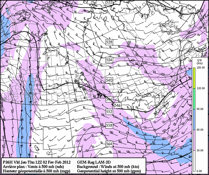
As this week progresses, we’ll see a zonal upper flow begin to amplify slowly as upper-level ridging builds into the Prairies. This will result in a fairly simple forecast:
- We should expect daytime highs close to freezing, moving towards slightly above freezing (2 or 3°C) by the weekend, with overnight lows between -10°C and -5°C.
- We’ll have just a very slight chance of flurries this morning and Thursday morning as a couple weak troughs pass through the Red River Valley associated with some weak shortwaves that are embedded in the amplifying upper level flow.
- We should see the sun poke out in a mix of sun and clouds this afternoon, and then see clearing skies overnight. We should then see mostly sunny skies for the rest of the week!
The long-term forecast looks pretty quiet, with most major systems keeping well south of Manitoba and upper ridging dominating our weather pattern. Long-range models hint at a high over low block setting up over the Northwestern United States in the 7-10 day range, which would allow colder arctic air to spill southwards over Saskatchewan and Manitoba; but that’s a long ways off and could all change! For the rest of this week, we’ll be enjoying above-normal temperatures and finish the week with plenty of sunshine.
And for those who are curious, Rob has written up a good summary of this past January’s temperatures on his blog. This January was the 3rd warmest January on record, coming in behind the January 1944 and January 2006. This comes right after the 9th mildest December on record, and pushes our streak of months with above normal temperatures to 7 consecutive months!
