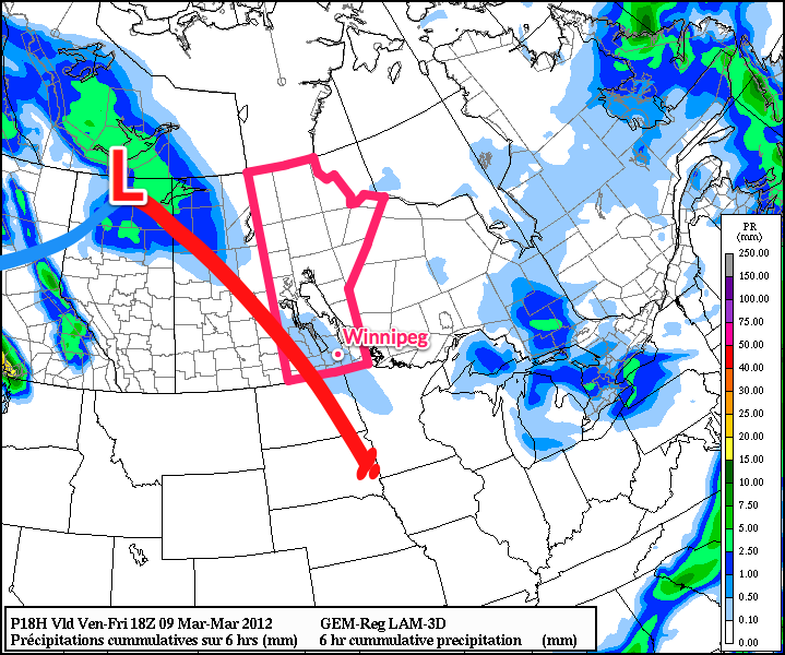
After a quick punch of snow and some extremely strong winds, as high as 75km/h, yesterday, Winnipeg is set to see a dramatic warm-up. Strong southerly winds will develop ahead of an incoming warm front, resulting in a chilly day today, however by Saturday and into next week, we’ll be seeing temperatures we haven’t seen since January! (Well, that’s an odd statement…)

Our brisk morning will be replaced by seasonal temperatures with a stiff southerly wind around 40km/h preceding the arrival of a strong warm front. This will produce wind chill values between around -20 and -15 through the day today. We’ll have a slight chance of some light flurries midday as an area of lift ahead of the warm front passes through, then winds will diminish overnight as the warm front passes and our temperatures will rise to around 0°C. This will mark the beginning of steadily climbing temperatures over the next few days. On Saturday we’ll reach temperatures near 4°C.
Further on, our temperatures will be highly dependant on our snow cover. Many models want to push our temperatures up to nearly 10°C in very short order, however if our extensive snow cover doesn’t erode rapidly, we’ll be stuck with temperatures in the 4-5°C range. That being said, the warm temperatures should result in fairly consistent snowmelt and given that we’re expected to be embedded in a warmer air mass for the next week, we should see daytime highs consistently between 5-10°C!
