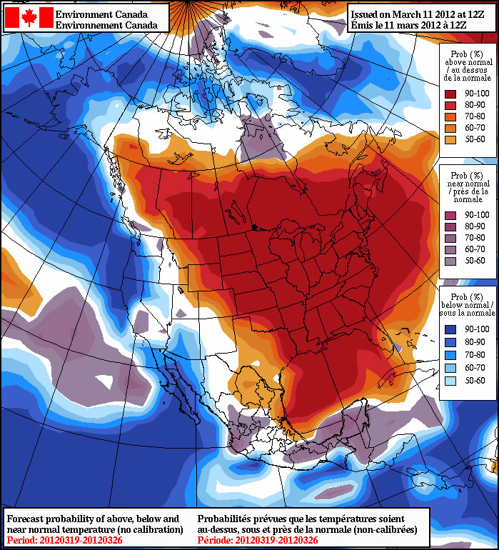
The wonderful weather experienced on the weekend will continue into this week. Temperatures are expected to remain well above normal for the foreseeable future.

Figuring out just how warm it will get this week is a challenge. There is snow in some parts of Southern Manitoba and bare ground in other parts. Areas that are snow-free will be warmer than those regions that still have snow. Weather models haven’t handled temperature forecasts very well lately, making forecasting even more difficult. Based on the warm temperatures experienced this weekend it appears that most days this week will have high temperatures in the high single digits or low double digits. Toward the end of the week we may have a shot at mid to high double-digit temperatures if most of the snow has disappeared as expected. Due to all the melting snow this week fog will be possible on most days. The additional water vapour that is added to the air due to the snow melt provides the necessary ingredient for dense fog patches to develop. Luckily with the sun becoming increasingly strong most areas of fog should dissipate fairly quick after the sun comes out.
A number of records were broken over the weekend due to the usually warm temperatures that occured. More daily high temperature records will likely be broken almost every day this week as conditions remain warm.
In the longer range there is no sign of a colder pattern. Most forecasts show warm weather continuing for at least the next 10 days. However, bear in mind that Winnipeg averages 10cm of snow in April, so don’t count on completely smooth sailing into summer.
Elsewhere in Weather News
Waterspout Makes Landfall in Hawaii
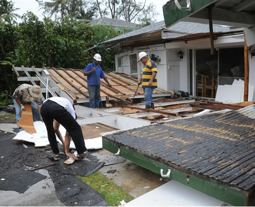
As Hawaii nears the end of its rainy season, very strong thunderstorms producing tornadoes over the Pacific Ocean made landfall on the islands this week, producing the first tornado to hit Hawaii in four years. On the morning of Friday March 9th, the tornado struck Kailua, one of the suburbs of Honolulu. From there, it moved inland for a mile-and-a-half before dissipating. There were no injuries associated with the tornado and only minor structural damage to a couple houses, where parts of roofs were torn off and windows damaged. Storm surveyors estimated the tornado to be an EF-0, with winds of 96km/h to 112km/h.

What was even more unusual to Hawaii with these thunderstorms is that they brought very large hailstones to the area, which is unheard of on the islands. The 30 minute hailstorm was described by Tom Birchard, a senior meteorologist at the National Weather Service (NWS) of Honolulu, as “unprecedented” and mentioned the three-inch hailstones are “likely record-breaking”.

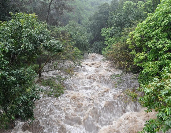
With the thunderstorms being nearly stationary and rain rates reaching over 75mm/h during the course of the day, mudslides prompted officials to close the roads. Schools were also closed and flights cancelled out of Kauai because of the heavy rains.
Thankfully Hawaii’s stormy weather is forecast to clear this upcoming week with partly cloudy skies and steady temperatures of 25°C. The high pressure that created a blocking pattern will move off, allowing the low pressure system to leave Hawaii.
Elsewhere in Weather News has been provided by Matt
