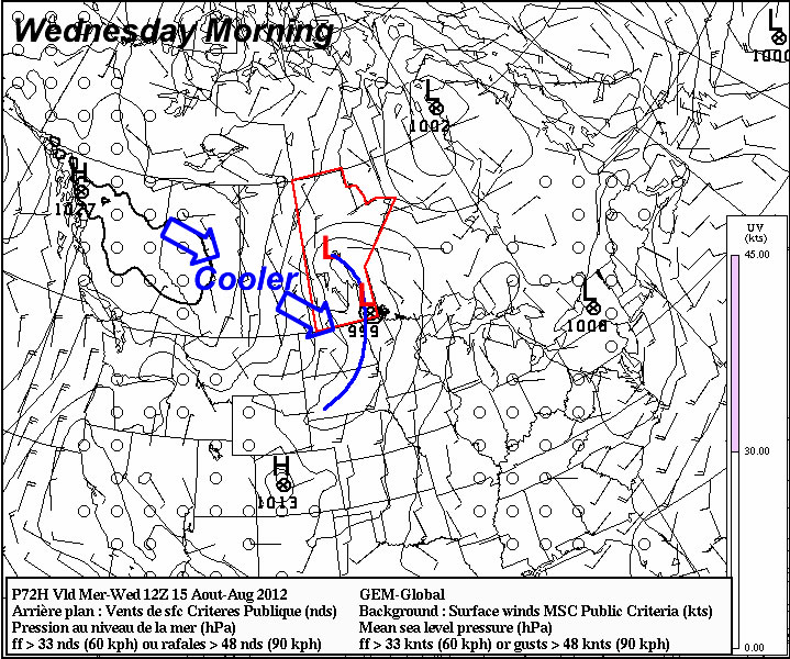
This week will start out with more of the same normalish weather we’ve had for the past week or so…but it looks like a change in the pattern is coming…

Temperatures on Monday and Tuesday are expected to be around normal (or slightly below), with highs in the low to mid twenties expected. Our normal high for this time of year is 25C. We will be under a surface ridge of high pressure during this time period so rain appears unlikely.
A change in our weather is in store around midweek. It appears that a major cold front will swing through Southern Manitoba at some point on Wednsday. Models disagree with the timing of the cold front, but it looks most probably that the front will enter Western Manitoba sometime early Wednesday morning and be out of the province by Wednesday afternoon or evening. Regardless of the exact timing it looks like Wednesday will be a chillier day, with highs struggling to reach 20C and rain being likely. As we move closer to Wednesday the details of the frontal passage should be better known.
After the cold front passes through on Wednesday we’ll be in for a couple of cooler days with temperatures only in the upper teens or lower twenties for Thursday and Friday. Beyond this work-week there is some uncertainty in terms of what will happen next. Many models portray us sticking with more normal weather through the remainder of August, while others show us warming up again. As always, time will tell which forecast is correct!
