After a weekend laced with active weather all over the Prairies, we will go into a much more subdued pattern for this week. But unfortunately, it doesn’t look like the snow is going anywhere fast.

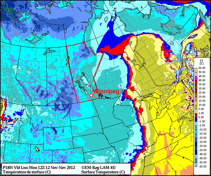
The weather to start the week looks cool to cold, but fairly uneventful. The main story may in fact be the low temperatures, with very cold values expected. On Sunday morning Coronation, Alberta plunged down to -29C! In Southern Manitoba our lows don’t look to be quite that extreme, but if skies clear out as expected some -20C readings may appear in Western Manitoba this morning. In the Red River Valley our daytime temperatures won’t moderate much from this morning’s lows, with temperatures basically flat-lining throughout the day in the high minus single digits or low minus double digits. It looks like we’ll get down into the low minus teens on Tuesday morning, with widespread -20s not looking too likely at this point. By Tuesday afternoon it looks like we’ll climb up to the mid minus single digits, which should be fairly pleasant given the lack of wind. On Wednesday models suggest that we could get up to the freezing mark, though they may not have a great handle on the new snow cover, so I’d assume our temperatures will remain slightly below zero for now.
No significant weather is in store for the late week period, just more typical mid-November conditions. Long-range models hint at warmer than normal weather returning to Manitoba later this month, but those predictions should be taken with caution for now as our new snow cover may not be properly accounted for yet.
