Severe Flooding Strikes England
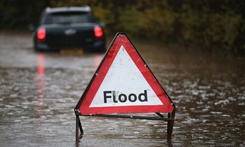
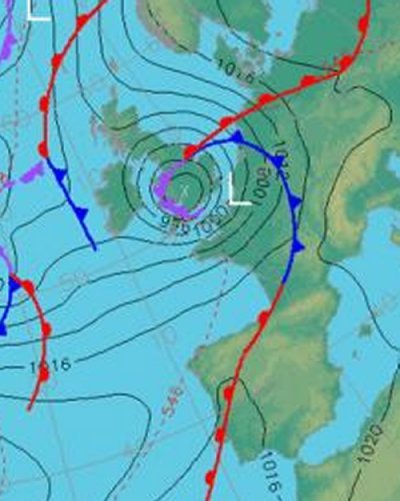
Intense flooding has hit parts of the UK these past couple of days and more is to come this weekend. A strong low pressure system approaching England from the south-west has brought with it plenty of moisture which has already flooded out 300 properties and caused one death.

South-West England is most at risk. Areas including Exeter and Bristol were included in the ‘amber risk’ (second highest level) which was issued by the Met Office as more localised flooding was likely to occur. By Saturday afternoon, it will not be uncommon to see rainfall reports exceeding 50mm in South-West England. This, coupled with ground already saturated to its maximum, will cause flash flood conditions where streams could easily overflow in a matter of hours. In total, 70 flood warnings and 150 flood alerts had already been put in place as of Friday. High winds add to the storm’s grave concern, as gusts of 90km/h are not out of the question for Saturday’s event.

Areas of South-West England typically see an average of 16 rainy days and 70mm of rainfall in November. Therefore it’s not unusual to see rain in that area during the month of November but the expected amount to be seen this weekend is on the high end of the spectrum. The highest 24-hour rainfall ever recorded in South-West England (Martinstown) was in 1955 where 279mm, over half of Winnipeg’s annual precipitation, fell!
