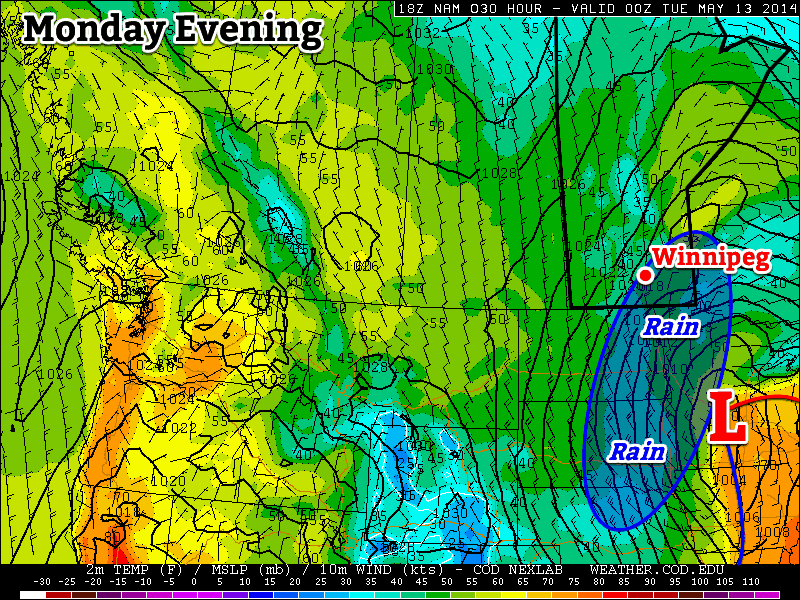
After a nice weekend, we’re in for a nasty work-week. More rain and chilly temperatures are on the way.

Monday
Today will see rainy weather return, or continue, in southern Manitoba, depending on where you live. Western sections of the province should remain mostly dry, but south-eastern sections will be getting wet, as another strong weather system moves up from the south. Rainfall accumulations of 10-20mm are expected in Winnipeg with 15-25mm in areas south-east of the city, including Steinbach. Locally higher amounts are possible in the south-east corner of Manitoba where heavier rain bands will likely develop. The rain will be accompanied by a strong northerly wind, just adding to the misery!
Tuesday
There may be some lingering rain showers on Tuesday morning in south-eastern Manitoba, and some more pop-up showers in the afternoon, but generally speaking Tuesday will be a dry day. It will also be a fairly crummy day, with a cool airmass of Arctic origins surging southward into the province. High temperatures aren’t likely to crack the double digits in most areas.
Wednesday
Wednesday will see a continuation of Tuesday’s nasty, cool conditions, with even colder Arctic air surging southward. Once again, temperatures are not expected to reach double-digits, except for maybe far western sections of southern Manitoba. Pop-up showers may develop in the afternoon, just to cap things off!
Long Range
We should see temperatures return to near normal values by the end of the week into the weekend, however no above-normal weather is in store for the foreseeable future.
