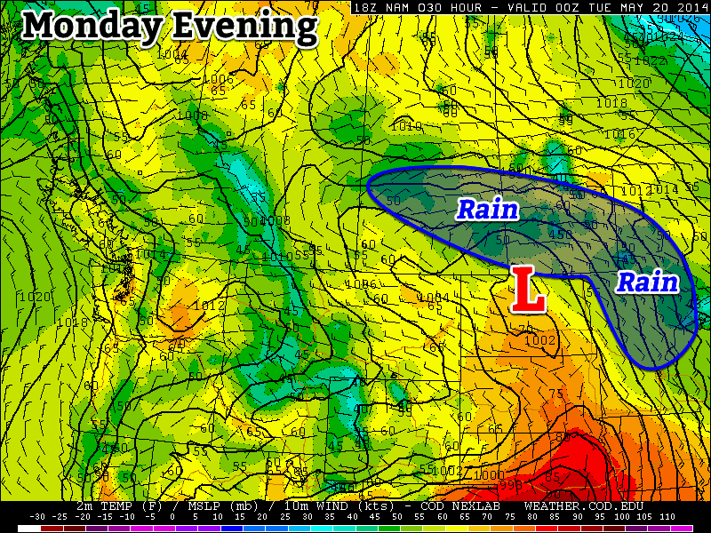
The final day of the Victoria Day long weekend will see rain over much of southern Manitoba. It seems that early-week rain is becoming a new tradition of sorts.

Monday
A low pressure system moving out of the northern United States will bring moderate rain to most of southern Manitoba today. Accumulations of 5-15mm are expected in Winnipeg and the Red River Valley. Areas further west, in south-western Manitoba, can expected accumulations of 15-25mm. There’s a slight chance of a thunderstorm in areas near the international border, but they should amount to little more than a rumble or two and slightly heavier rainfall.
Tuesday
The low pressure system from Monday will remained stalled out over southern Manitoba on Tuesday. That means we’ll see showers continue through the day on Tuesday, but actual rainfall accumulations will generally be light.

Wednesday
The weather will finally begin to relent on Wednesday, as skies clear and temperatures climb into the mid or upper teens. There will be a breezy north wind on Wednesday, but it will be a nice day overall. Wednesday’s return to reasonable weather signals a major pattern change that is expected to bring much warmer conditions by the weekend.
Long Range
The long range forecast is finally looking hot for a change. Medium-range weather models suggest we could reach the upper twenties, or near thirty degrees by the weekend. There’s still some uncertainty in terms of how hot it will get, but it definitely looks like some above normal weather is finally on the way!
