Saskatchewan/Manitoba Border Chase – May 29th, 2014
Three quarters of the A Weather Moment team (plus a U of Manitoba student) went storm chasing on Thursday. This is a summary of what happened, written by Scott.
We left Winnipeg around 11am and drove straight to Brandon, arriving by 1:30pm. Once in Brandon we made our obligatory stop at Subway and reassessed the situation. We figured from Brandon we’d have to go west for sure, but the question was whether to go straight west, north-west, or south-west. We opted to not commit, and just drive another 45min west to Virden to reassess there again.
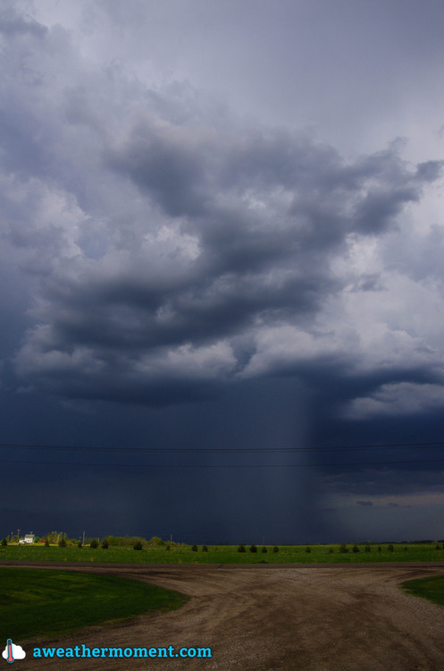
While in Virden we noticed a decent looking cell coming out of Saskatchewan, but it was expected to move well north into the Riding Mountains. We drove toward it a bit in case it decided to right move, but of course it did not (it was heading into the forest), so we then backtracked to Virden. On our way back we saw some good activity developing near Melita, so we went to investigate that. Upon arrival in Pipestone (just north of Melita), we got a clear view of that Melita storm, but it was featureless and high based…yuck. It then appeared that there were some supercellish structures coming out of Saskatchewan, so we figured we’d check them out. The surface winds in their vicinity had already switched to westerly, but we figured if they moved into Manitoba quickly enough they might have a chance. However, we quickly found out they were already too far behind the front for that to happen. So that was that, no supercells for us! We then turned around and started heading for home.

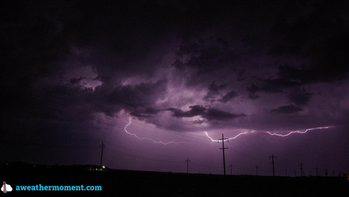
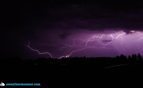
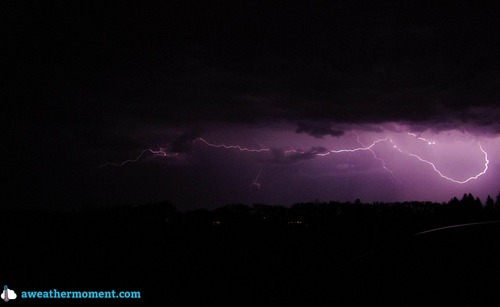
As we drove back, a couple of core punches were performed around Brandon to get through a line of storms. Upon reaching the other side of the line near Carberry it was getting dark, so we decided to stop for lightning pictures – good idea. The lightning was beginning to pick up and some CG strikes were noted. It then began to rain and we moved east again to Portage and stopped for more pictures – very good idea! In Portage there were powerful CG strikes every 5-20 seconds (roughly), which made for many really great pictures. We took pictures there for a while, but then it started to rain again, so we moved east again, this time to Oakville.


