A few more days of hot weather are in store before we cool down later this week. Enjoy the heat while it lasts!

Monday
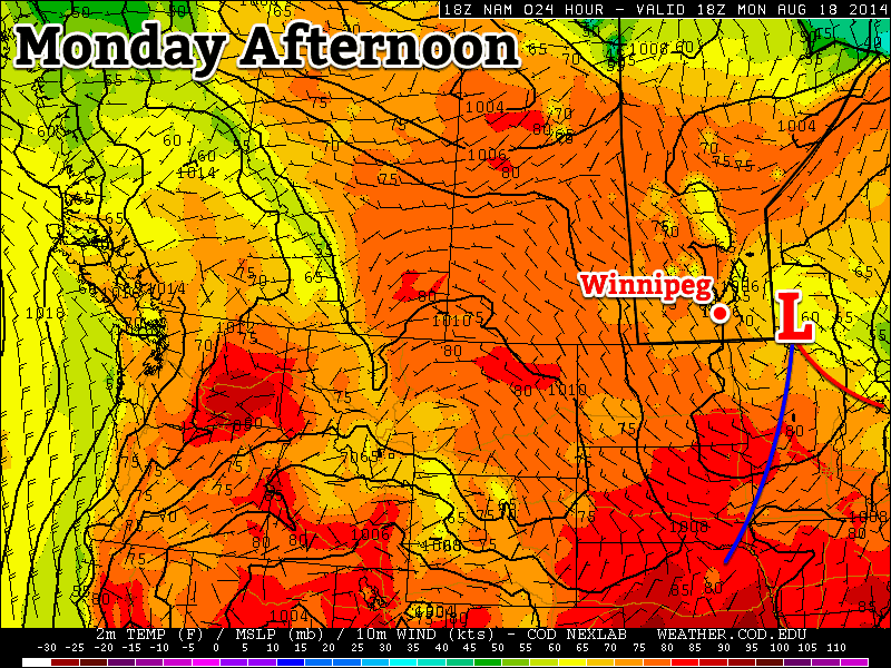
Today will be a bit unsettled as a large upper-level weather system traverses our region. There will be a chance of showers and risk of thunderstorms in the Red River Valley and south-eastern Manitoba. Any storms that develop will be non-severe, though there is a slight risk of cold core funnel clouds due to the large amount of “spin” with this system. Temperatures will range from the low to mid twenties across southern Manitoba, with the highest readings in western areas.
Tuesday
Tuesday looks to be a very nice day, with temperatures climbing back up into the upper twenties. Skies will be mainly sunny and winds will be light. No precipitation is expected, except for perhaps a stray shower or thunderstorm.
Wednesday
Wednesday looks like another nice day, with temperatures near the 30C mark. There will be a risk of thunderstorms in western Manitoba, but at this point it looks like they should be non-severe. It appears the main risk with any storms that develop will be heavy rain since they’ll be slow-moving due to a weak jet stream overhead.
Long Range

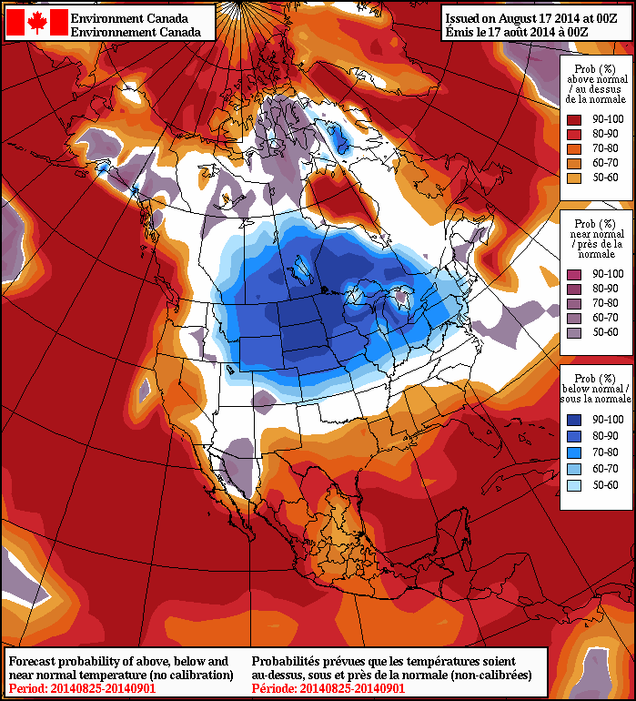
Unfortunately, it looks like that cool-down I’ve been hinting at is set to take shape later this week. A cold front will probably pass through southern Manitoba on Thursday, dropping temperatures back into the low to mid twenties for late week into the weekend. Models suggest that we’ll see cooler weather – predominately in the low twenties – stick around into next week.
