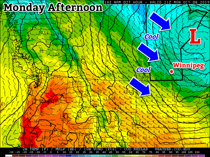
A large upper-level low pressure system over northern Ontario will bring us chilly weather to start the week. Unfortunately, this means below-normal temperatures and frequent opportunities for showers.

Monday
Today will be cool, cloudy, and breezy as that large upper-level low over Ontario brings a cool north-westerly flow to southern Manitoba. There will be a chance of showers throughout the day, as a band of light precipitation pushes down from the north.
Tuesday
Tuesday’s weather will be very similar to today’s. Skies will once again be mainly cloudy with a chance of showers. Unfortunately, it will also remain breezy as that upper low to our east maintains a decent pressure gradient across Manitoba.
Wednesday
It looks like Wednesday’s weather may begin to see some improvement over the conditions from earlier in the week. Temperature won’t warm by much, but winds should be a bit lighter. The chance for showers looks to be gone on Wednesday, and we should even see some sunshine.
Long Range
The long range forecast isn’t looking all that great at this point. The current forecast calls for a surface high to build into Manitoba late this week as that nasty upper low finally moves off. This will likely mean sunnier skies, but also a good chance for some solid freezing nights, and relatively cool daytime temperatures. Models hint at a warming trend from next weekend into the following week, though it isn’t currently expected to be an extended warm-spell…but we shall see what actually happens!
