Conditions will remain at or above normal this week, unfortunately “normal” continues to get colder by the day.
Monday
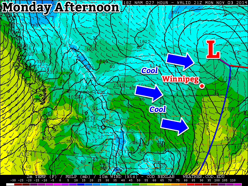
Today will be mild by early November standards, but that doesn’t mean it will be warm. Temperatures will be in the mid to upper single digits in southern Manitoba with a brisk westerly wind. Skies will be a mixture of sun and cloud as an upper-level weather system moves across Manitoba.
Tuesday
Tuesday will be cooler than Monday as we see a brisk north-westerly flow behind a departing low pressure system. Temperatures will generally be in the mid single digits under mainly cloudy skies. There may be a few flurries or rain showers, but no significant accumulations are expected.
Wednesday
Wednesday will see continued cool weather in southern Manitoba with temperatures in the low to mid single digits, but lighter winds than what we saw earlier in the week. Skies will remain mainly cloudy and we may once again see some light flurries or rain showers.
Long Range
The long range forecast suggests we’ll continue to see normal to above-normal weather for at least the next week or so. Beyond that model solutions diverge, with equal chances of us ending up above or below normal.

