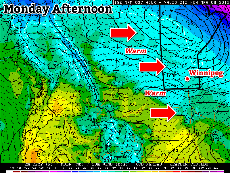
The spring snow melt will begin in earnest this week as temperatures soar to above-seasonal values.

Monday
Today will be well above-seasonal with high temperatures reaching into the mid single digits. We’ll see skies that are a mixture of sun and cloud as some mid and upper cloud streams through from the north-west. Since there will be a lot of snow melting, some fog patches may develop overnight due to the increase in moisture. It will most certainly be another bad day if you happen to be made of ice!
Tuesday
Tuesday will see similar conditions to Monday. Temperatures will once again be in the mid single digits with a westerly wind. Skies should be mainly sunny making for yet another beautiful day.
Wednesday
Some clouds will roll in for Wednesday, but temperatures will remain mild. Highs should be in the low to mid single digits under mainly cloudy conditions. We may even see a light rain or snow shower, but accumulations will be minimal. Wednesday will be a gloomier day, but warm nonetheless.
Long Range
The long range forecast continues to look very good. Models suggest that we will see above-seasonal temperatures stick around until at least mid-March. Given the warm weather expected this week, it’s likely that most of our snow will disappear quite quickly. Once the snow is gone the ground will be less reflective, allowing more sunlight to be absorbed, giving us systematically warmer temperatures. Sounds pretty good, doesn’t it!
