Temperatures will gradually warm this week as we move back into more spring-like conditions.

Monday
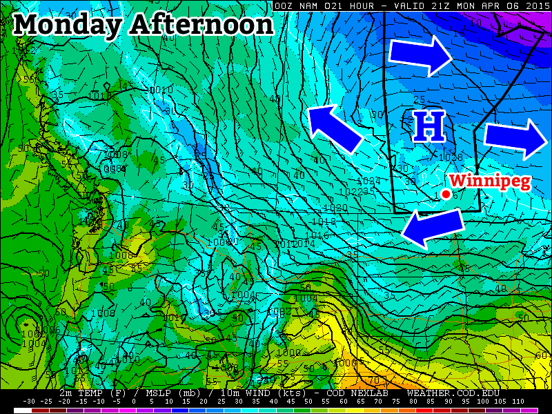
Today will remain on the cool side as a surface high remains parked off to our north. This high will keep arctic-ish air over southern Manitoba, suppressing high temperatures to near the freezing mark. Winds will be light however, making for a pleasant, but slightly chilly day.
Tuesday
Tuesday will see a slight uptick in temperatures over Monday, with values climbing a few degrees above zero. Skies will be a mixture of sun and cloud and winds will be breezy from the east. There may be a bit of snow on Tuesday night as a strong upper-impulse moves through, but accumulations will be small.
Wednesday
Wednesday will see temperatures increase further, with highs in the mid to upper single digits in southern Manitoba. Skies should remain mainly sunny with light winds, making for a nice day!
Long Range
The long range forecast shows increasingly warm temperatures toward the end of the week. Models suggest that above-normal weather will last into mid-April at least. This means highs frequently into the teens and very long range models even show our first 20C readings of the year!
