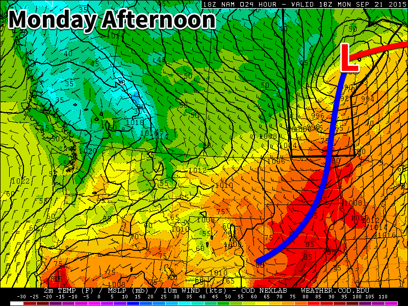
We’ll see one more warm day today before a cold front rolls through late this afternoon. Cooler weather is on tap after today, but temperatures will remain near seasonal.

Monday
Today will see a shift in our weather as a cold front moves through late in the day. This cold front will drop temperatures from the upper twenties down into the teens by the evening. Winds will also shift from being southerly in the morning to westerly or north-westerly following the frontal passage. No precipitation is expected as this cold front passes due to the lack of moisture ahead of it. Temperatures will fall rapidly on Monday night in this cooler air mass, with lows by Tuesday morning only in the single digits.
Tuesday
Tuesday will see much cooler weather than Monday, but temperatures will remain near seasonal. Highs on Tuesday are expected to be in the mid to upper teens under mainly sunny skies. Winds will be breezy from the west. No precipitation is expected.
Wednesday
Wednesday will see this cooler weather pattern continue with high temperatures only in the mid teens. Skies will be mainly cloudy and there will be a chance of showers throughout the day. Winds will be light and from the east.
Long Range
The long range forecast suggests that our weather will generally remain at or above seasonal values for the remainder of September. You can expect to see a few more warm-ups before chillier fall weather is here to stay.
