Benign weather is in store this week for Winnipeg with temperatures gradually returning towards seasonal values. The weather will become more active heading towards the weekend as warmer weather begins pushing eastwards across the Prairies and returns above-seasonal temperatures to the region.
Today will be a pleasant day with mixed skies courtesy a weak system passing through southwestern Manitoba. Winds will be fairly light at just 10-20 km/h. The daytime high will climb to about -8C then drop to -19C tonight as skies clear. As a note, it will likely be considerably cloudier in the SW RRV and through southwest Manitoba as a thicker layer of cloud remains in the region.
Thursday will bring sunny skies, light winds, and a high near -9C. On Thursday night, some cloud will begin moving into the Red River Valley ahead of an incoming low pressure system, resulting in slightly milder overnight lows. Temperatures are expected to dip down to about -15C.
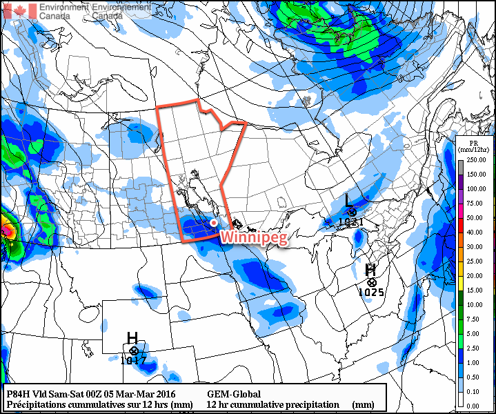
On Friday, a low pressure system sliding along the international border will spread an area of light snow from Saskatchewan east-southeastwards through SW Manitoba and the Red River Valley. It currently looks like snow will push into the Red River Valley in the morning and taper off by evening, with 2-4cm of new snow possible.
Temperatures will return to seasonal values on Friday with a daytime high near -5°C. Skies will clear through Friday night as temperatures head to a low near -12°C.
Long Range: Mild Weather Returns
A strong signal of a return to milder weather is showing up once again for much of Eastern North America


A major pattern shift will allow unseasonably warm air to spread back across much of the continent beginning this weekend and persisting through next week, driven by a collapse of the major west coast upper ridge that’s been in place for the past few weeks and the development of a zonal upper-level flow across much of the continent.
This flow will favour warm temperatures with daytime highs likely at or above 0°C here in Winnipeg for much of next week. These flows do typically bring more numerous disturbances through, so while temperatures will be mild, there’s a good chance that we’ll see more chances for rain or snow as well.
Winnipeg’s seasonal daytime high is currently -5°C while the seasonal overnight low is -15°C.