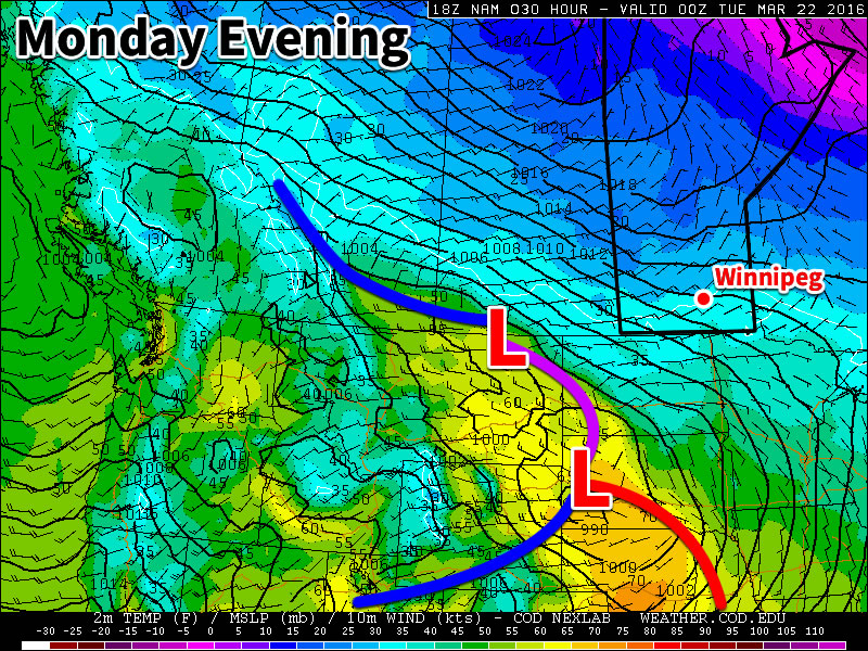
This week will remain on the cool side, but temperatures won’t be far from normal.
Today will be mainly cloudy with temperatures near the freezing mark. The main weather feature in the short-term will be a low pressure system passing to our south today. This system is expected to spread some light snow throughout southern Manitoba this afternoon into this evening. Accumulations in the Winnipeg region aren’t expected to be more than one or two centimetres, but areas closer to the U.S. border could see somewhat larger amounts. Winds will be from the east at 20-30 km/h.

Skies are expected to gradually clear on Tuesday as a dry north-easterly flow develops over southern Manitoba. Temperatures are expected to be just below zero in most areas, which is slightly below seasonal for this time of year. Winds will be north-easterly at 20-30 km/h.
Wednesday will be mainly sunny, with temperatures again just below the freezing mark. A surface high pressure system is expecting to reside over southern Manitoba, allowing for those sunnier skies and light winds.
Long Range
The long range forecast shows generally seasonal to below-seasonal weather through the end of March. There are no large warm-ups currently in the forecast.
Winnipeg’s seasonal daytime high is currently 1°C while the seasonal overnight low is -9°C.
