A slow-moving low pressure system that has meandered into the Prairies from the west coast will very gradually make its way through the province over the coming few days, bringing with it numerous chances for showers and thunderstorms.
The coming few days will be rather unsettled over the Red River Valley, however there’s no guarantee any one location will end up seeing all that much rainfall as multiple rounds of showers and thunderstorms swing across the region. Given that the next three days will all be under the influence of the same system, I’m going to break down the forecast in a slightly different way than usual and cover the weather elements individually instead of talking about each day.
Temperatures
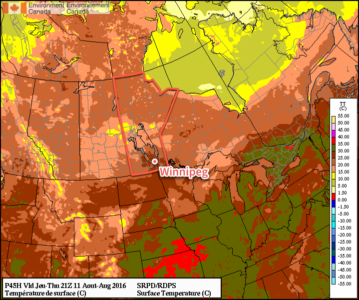
First off, the temperatures. Today and Thursday will both be days with near-seasonal high temperatures of about 25°C. Overnight lows for today & tomorrow will be slightly warmer than normal with a lows of 16-17°C.
A cold front will sweep through on Thursday night, ushering in cooler temperatures for Friday with a daytime high near 22°C and an overnight low near 13°C.
Cloud Cover & Wind
Skies will become incrementally more cloudy over the next three days with a mix of sun and cloud expected today in Winnipeg, fairly cloudy skies with a few sunny breaks on Thursday, and mainly cloudy skies on Friday.
Winds will also be fairly light over the coming few days; expect easterly winds between 10-20 km/h today & tomorrow, then a shift to northwesterlies for Friday with slightly breezier conditions as winds climb to around 30 km/h.
Precipitation
This is the much harder thing to nail down in today’s forecast. The Red River Valley will be dealing with several waves of precipitation over several days, much of it convectively driven which automatically injects some uncertainty into the forecast. Here goes as best an overview as we can!
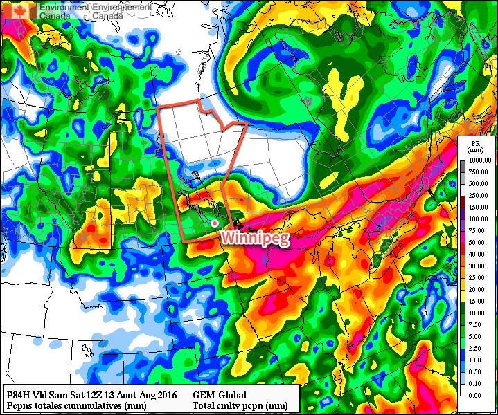
Wednesday: There will be a chance of showers or thunderstorms today as two areas of convection pass by to the south and north of the Red River Valley. Conditions will likely remain fairly dry, however there is the off chance of some areas being clipped by either of these systems. A more organized system will develop tonight as the frontal wave associated with the Pacific low moves through the region and the low itself moves in.
Wednesday Night/Thursday: A risk of elevated convection will be in place tonight into Thursday morning. There’s still uncertainty with exactly where the storms will develop, but it’s safe to say that the entire Red River Valley is at risk of seeing thunderstorms and rain. Some of these storms may be severe. We’ll produce a convective outlook image once the situation is a little more clear.
Then the threat for thunderstorms returns on Thursday afternoon as a cold front sweeps across the Red River Valley and the low slumps from Western Manitoba into the Red River Valley. It looks, at this point, that any storms that develop on Thursday afternoon could be strong to severe.
Friday: The main low will move through on Friday, bringing widespread shower activity. An isolated thunderstorm or two is possible, but they are not expected to be severe should they develop.
Long Range
Briefly looking ahead to the weekend, it appears that Saturday could bring some more scattered showers with a chance of an isolated thunderstorm. Sunday is looking like the day where things return to slightly more pleasant conditions with the sun returning and temperatures climbing back into the mid-20’s.
Winnipeg’s seasonal daytime high is currently 26°C while the seasonal overnight low is 12°C.