This week will be a warm one, with temperatures frequently reaching the upper twenties. This heat will be accompanied by some humidity, which will prompt a renewed risk of thunderstorms.

This Week
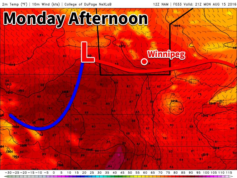
Today will be a hot one in southern Manitoba. Temperatures will be in the upper twenties to near 30C, with increasing humidity making it feel more like the mid thirties. Winds will generally be light, with the direction varying between easterly and southerly depending on your location. The heat and humidity today will prompt a risk of thunderstorms. Some storms may be marginally severe, as moderate instability but weak wind shear characterizes the environment. Any severe storms could potentially produce hail around nickel size and wind gusts to 90 km/h – although the odd storm may slightly exceed those values. Storm coverage is not expected to be very widespread, so many people may not see any activity.
A weak cold front will pass through early Tuesday, cooling us down a little bit. High temperatures on Tuesday will generally be in the mid twenties, with some lingering humidity making it feel closer to 30. A risk of thunderstorms will once again be present due to that lingering humidity, but any storms that develop should be non-severe. Winds will be northerly at around 20 km/h.
Slightly warmer conditions are expected again for Wednesday as temperatures climb into the upper twenties with light southerly winds. Skies are expected to be mainly sunny, making for quite a nice day!
Long Range
The long range forecast shows a stronger cold front passing through southern Manitoba later this week, likely on Thursday or Friday. Depending on the timing of this front, it may pose another risk of thunderstorms. Following the frontal passage we’ll see somewhat cooler conditions, likely persisting into the weekend.
