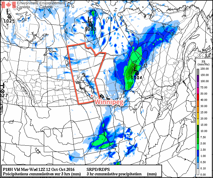
I can't speak for others, but I think I've nearly forgotten what the sun looks like. Fortunately, a reminder is on the way as the persistent cloud that's been locked into the region for so long will be exiting stage right. While it'll take several days until temperatures climb back to seasonal values, the sunshine alone will be a much welcome change.
This morning will start off with some remnant cloud in the Red River Valley–particularly in areas downwind of the lakes where flurries will be possible–but the cloud will clear through midday, with plenty of sun appearing. It will be chilly, though, with temperatures climbing only to around 6°C. A hard freeze is on the way tonight as temperatures drop to -2 to -3°C under mainly clear skies.

Thursday will be a mainly sunny day with a high near 8°C. Winnipeg will likely see a few afternoon clouds, but otherwise no significant weather is expected. Temperatures will dip to around 2°C on Thursday night.
Breezy southerly winds on Friday will bring warmer temperatures back to the region with daytime highs topping out around 14°C. This warmer air will also come with a fair amount of cloud, though, with mixed to mainly cloud skies in place over the Red River Valley. The winds will be notable, though, increasing out of the south to 30-40 km/h in the afternoon.

With a warmer air mass in place, temperatures will be milder on Friday night with a low near 8°C.
Long Range
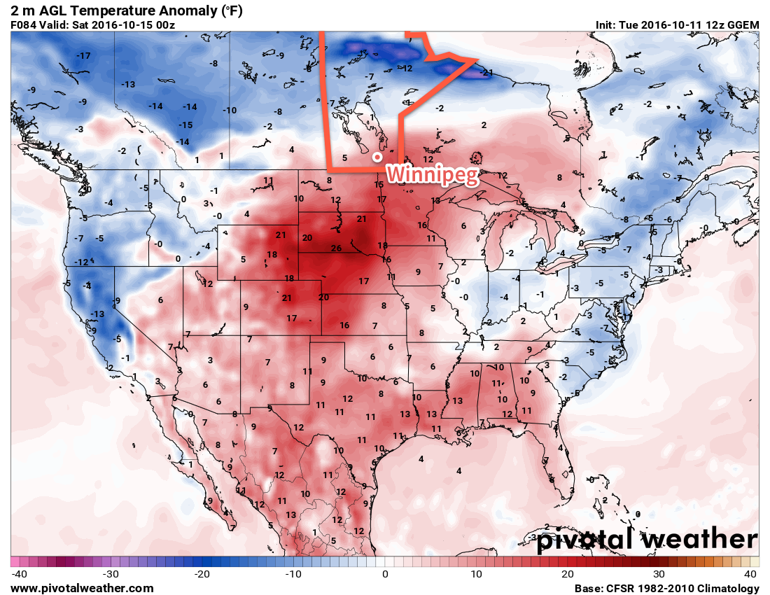
The weekend looks milder with seasonal to slightly above-seasonal temperatures in the Red River Valley. A major low pressure system will track through the region, however the precipitation associated with it should remain north of the Trans-Canada corridor, falling primarily across the Parkland, Interlake, and portions of Central Manitoba.
Despite not expecting much precipitation, we'll probably see a fair amount more cloud associated with the warmer weather, so enjoy these sunny days while we have them!
Winnipeg’s seasonal daytime high is currently 11°C while the seasonal overnight low is 0°C.
