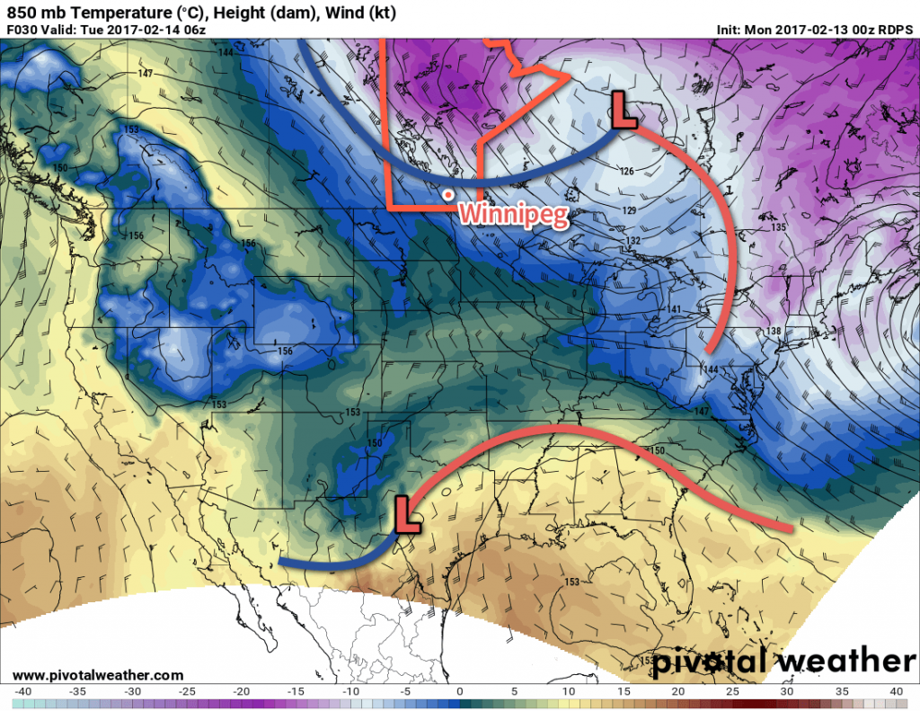
After a bit of a chilly start to February, this week will bring a transition into a prolonged period of significantly above-normal temperatures. Before we get there, though, Winnipeg will be going through a bit of a temperature roller coaster through the first half of the week.
More warm weather is on the way today thanks to a westerly flow that will bring partly cloudy skies and high temperatures just above the freezing mark across Winnipeg & much of the Red River Valley. Winds will be a bit breezy out of the southwest to west at 20-30 km/h.
Temperatures will continue to be mild tonight with partly cloudy to mixed skies. A cold front will move through late overnight, ushering in moderate northwesterly winds to around 30-40 km/h that will drop temperatures to -4 or -5°C by Tuesday morning.

The breezy northwesterlies will continue on Tuesday with temperatures falling to around -9°C by the end of the afternoon. Winds will taper off in the evening alongside some clearing skies. Temperatures will dip to a low near -16°C. Cloud cover will move back in overnight, moderating the temperature slide; should the cloud come in a bit earlier or later, the overnight low may be warmer or colder.
Wednesday will bring warmer weather back into the region as winds swing around to the south and skies remain mainly cloudy. Temperatures will reach a high near -4°C. Temperatures will dip to a low near -8°C under partly cloudy skies on Wednesday night.
Long Range
It’s in the second half of the week the warmer weather really sets up. Daytime highs will be at or above the freezing mark beginning Thursday and persisting all the way into next week. Overnight lows will also be very mild, hovering just below the freezing mark.
Winnipeg’s seasonal daytime high is currently -8°C while the seasonal overnight low is -19°C.

Greetings from keaweather.net. Chennai. Wonderful reading your page. Lot to learn. Cheers. 🙂