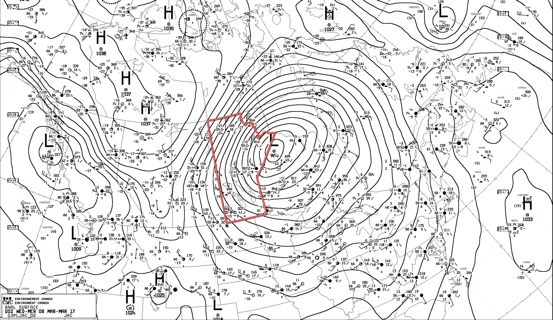
Residents of southern Manitoba can breathe a sigh of relief as conditions begin to improve as the major winter storm that has been hammering the province begins to move off into the Arctic.
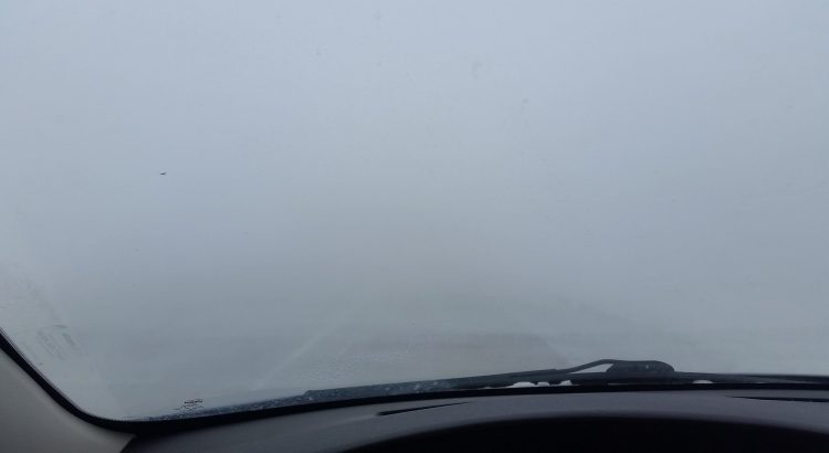
Today will bring relief to southern Manitoba as the strong westerly to northwesterly winds in place over the region begin to subside. These winds have created havoc over southwestern Manitoba where some of the worst blizzard conditions in recent memory developed on Monday and persisted throughout the day and into the night on Tuesday. Brandon saw blizzard conditions begin around 5PM on Monday evening and persist all through Tuesday. Numerous motorists had to be rescued from area highways, despite significant notice of extremely poor conditions being given in advance of this storm by Environment Canada.1
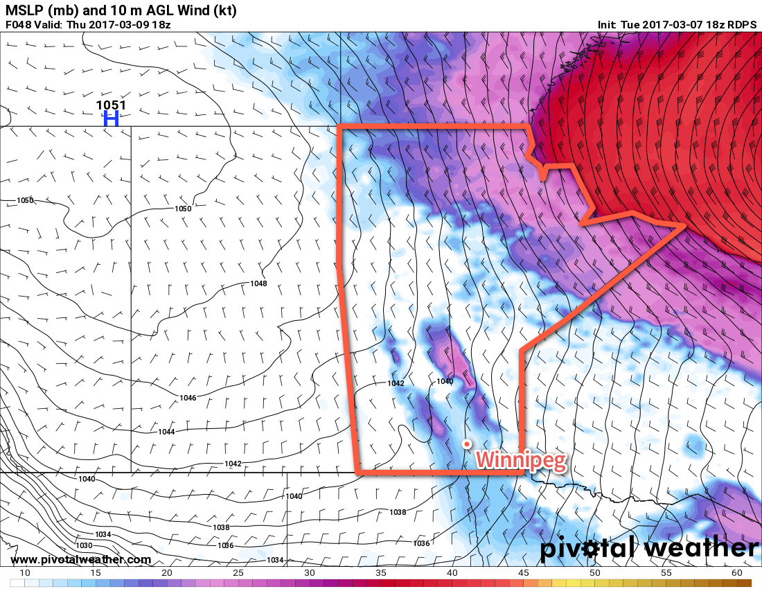
Winds will subside through the day from around 50 gusting 70 km/h this morning to 30 gusting 50 km/h around midday as the low pushes off to the northeast, allowing the pressure gradient to begin to slacken over the southern portion of the province. While the winds will still be a bit gusty, they should be low enough for visibilities to improve. Temperatures will be cool, however, with a high temperature of just -10°C. Skies will start the day cloudy but break up to more of a mix in the morning.
Skies will be partly cloudy tonight as temperatures drop to a chilly -20°C.
Thursday will see much colder air pushing into the province as a ridge of high pressure builds into the region. Temperatures will struggle to recover much through the day with highs expected to climb only to around the -17°C mark. This is nearly 15°C below normal for this time of year. Winds will be out of the northwest at around 20-30 km/h under partly cloudy skies. Temperatures will drop even further below normal on Thursday night with lows dipping down to around -27°C under clear skies with light winds.
Friday will be a cool and sunny day with little wind. Highs will be around -17 or -16°C with a low on Friday night near -21°C.
Long Range
The below-normal temperatures will continue through the weekend and into the beginning of next week, although there will be a gradual climb towards near-seasonal conditions. No significant snowfall is expected for Winnipeg the next 7 days.
Winnipeg’s seasonal daytime high is currently -3°C while the seasonal overnight low is -13°C.
- Environment Canada issued several special weather statements regarding the storm as well as blizzard warnings well in advance of the storm’s onset. ↩