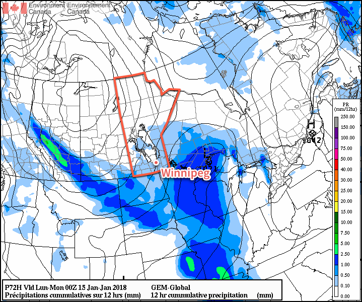
A slight warm-up on Sunday won’t make much of a difference: cold weather continues into the first half of next week.
Winnipeg will be locked under the influence of a sprawling Arctic high that will keep daytime highs around -20°C both today and tomorrow under sunny skies. Temperatures will once again dip back down towards -30°C tonight, but some cloud pushing into the area late Saturday ahead of some warmer air pushing in will temper the cold a bit and keep overnight lows to around -25°C. Winds will be light at 10 to 20 km/h today, tonight and tomorrow. Winds will pick up out of the south on Saturday night to around 20 to 30 km/h as skies cloud over.

A passing low pressure system will bring some light flurries to the Red River Valley on Sunday morning as slightly warmer air pushes into the region. Temperatures should climb to a relatively balmy – but still below seasonal – minus 16°C or so with winds shifting to the northwest midday and picking up to around 30 km/h. Skies will clear out overnight as temperatures head to a low near -28°C.
Long Range Outlook
Early next week will see bitter cold return to the region as another Arctic high arrives. Highs will fall into the mid-minus twenties on Monday with overnight lows again near -30°C. A big change is on the horizon, though, as the large-scale weather pattern begins a pretty significant shift and an upper-level ridge starts building into the Prairies. By mid-week, daytime highs are expected to climb towards -5°C, with the potential of near-0°C highs by the end of the week!
This shift to milder weather will come with variable cloudiness with little chance of snow.
Winnipeg’s seasonal daytime high is currently -13°C while the seasonal overnight low is -24°C.
