Winnipeg will continue to see pleasant January weather over the next few days with mild temperatures and light winds.
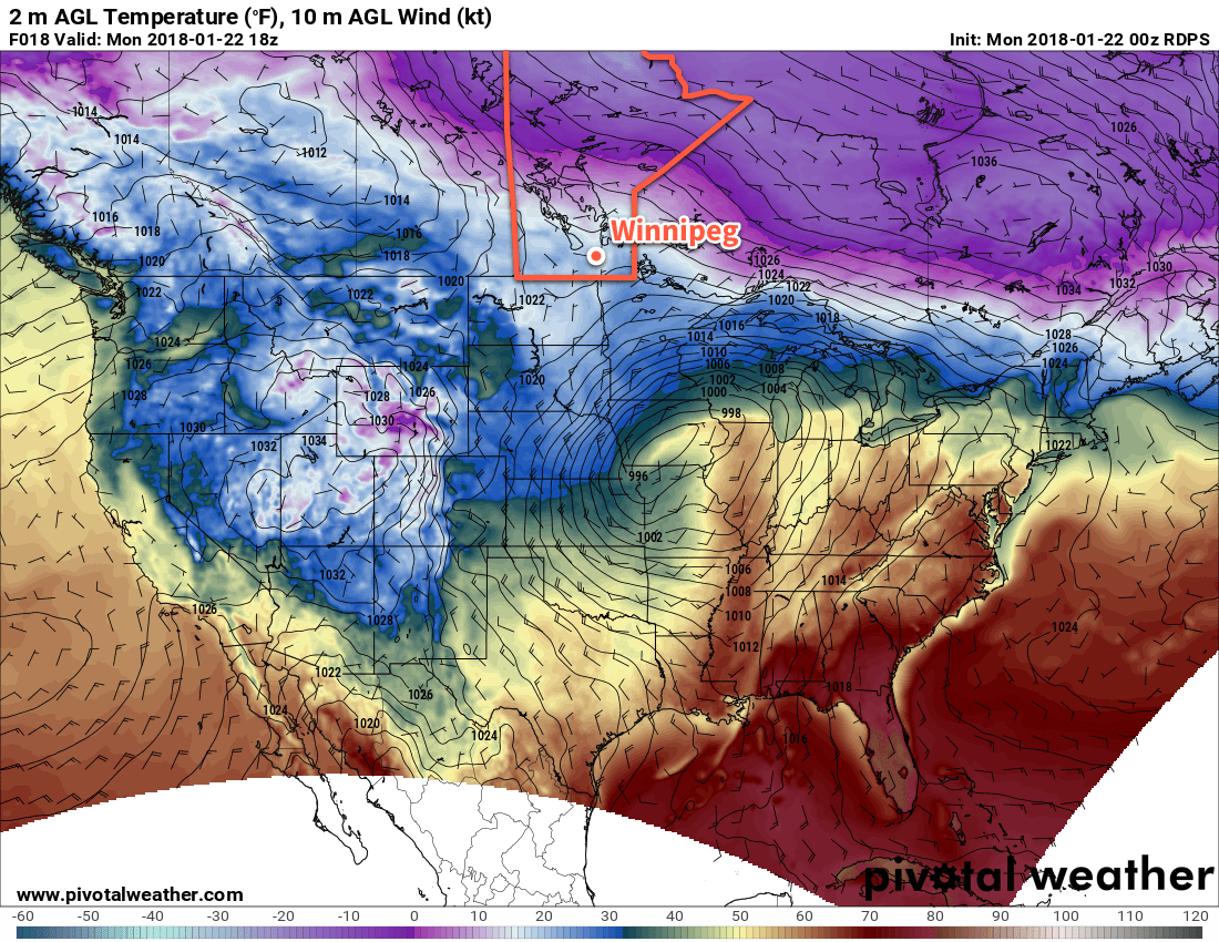
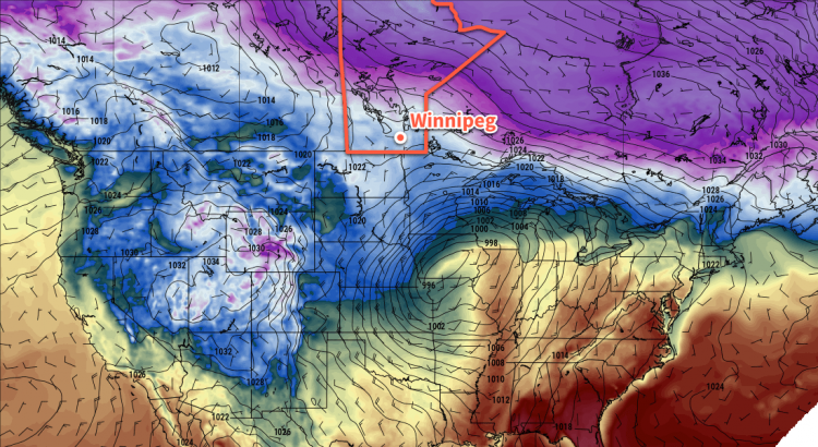
The weather over the next 3 days will defined by a stalled frontal boundary draped from Parkland Manitoba southeastwards through the Red River Valley and onwards towards the Great Lakes. This stalled boundary will keep winds light and temperatures mild for the next 3 days. The one downside will be the generally cloudy skies that persist along the front and the potential for patchy fog in any areas that manage to see some clearing at night or are stuck near the edges of cloud boundaries.
Temperatures for the first half of the week will be remarkably steady with highs around -6°C and lows dipping to around -10°C. The only chance for any sort of organized snow looks to be on Tuesday afternoon as a weak low pressure system moves through the region; Winnipeg will likely see light snow through the afternoon hours, but only around 1-3 cm is forecast to fall.

In some ways, it’s almost as good as can be asked for in a Winnipeg January: warm enough to be outside but cool enough that it’s not too sloppy, no winds making it miserable, and much of the outdoor winter activities up and running. The lack of sun is a bit of a hindrance, but cloud is often the price you pay for warmer weather in the winter.
Long Range Outlook
The remainder of the week looks quite cloudy with several chances for snow and mild temperatures continuing. Early indications are that a fairly significant low pressure system will move into the Dakotas on Friday, but there’s still quite a bit of uncertainty on how exactly it will affect southern Manitoba.
Temperatures will take a dip back towards seasonal values on the weekend as slightly cooler air slumps southwards behind the Dakotas low. The cool-down looks short-lived, however, with milder temperatures returning to start off February!
Winnipeg’s seasonal daytime high is currently -13°C while the seasonal overnight low is -23°C.

