Get the windshield wiper fluid topped up, Winnipeg! A week of mild temperatures is on the way, bringing beautiful weather and sloppy roads.
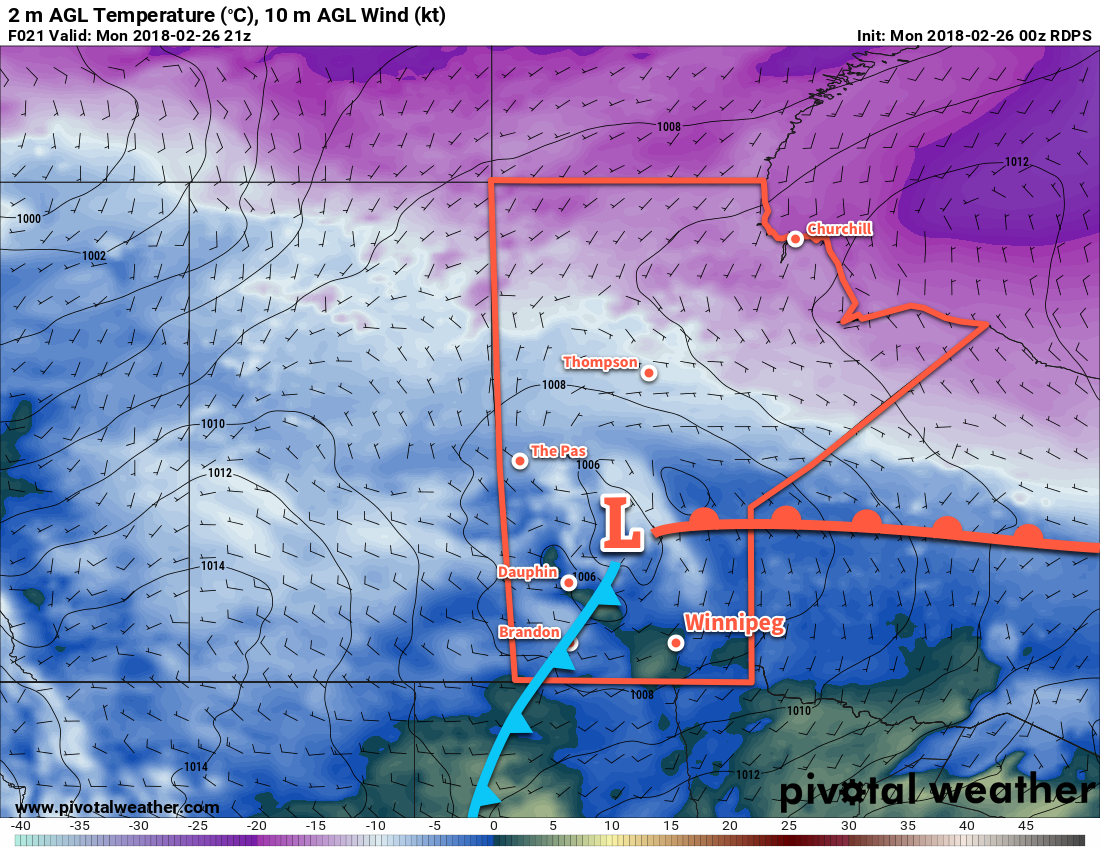
Winnipeg is finally free from the grip of Arctic air! A persistent westerly flow aloft is forecast to bring above-seasonal temperatures to the city for the remainder of the week. A warm front will move through this morning, sending highs to near +1°C under partly cloudy skies. Winds will start the day out of the south at 15 to 20 km/h, then shift to the southwest and diminish this afternoon. In the evening, a weak cold front will push across the Red River Valley, clearing out skies and sending lows to near -10°C.
Tuesday will bring slightly cooler weather as a ridge of high pressure moves across the region. Winnipeg will still see above-seasonal temperatures, though, as the daytime high climbs to near -2°C. Skies should be mainly sunny and winds will be light. A few clouds will work into the region overnight as lows dip to near -10°C again.

Wednesday will bring more cloud to Winnipeg as it spreads eastwards ahead of the next low pressure system crossing the Prairies. Under mixed skies, temperatures will climb to a high near -2°C with light southerly winds. Temperatures will dip back down to a low near -10°C yet again on Wednesday night with clearing skies.
Long Range Outlook
The remainder of the work week forecast looks pleasant. Another surge of mild air will send temperatures back near 0°C for Thursday and Friday with plenty of sunshine. Heading into the weekend, temperatures continue to look mild, but indications are that skies will be cloudy as a fairly significant low moves across the Prairies. The general pattern looks to be a bit more unsettled through the weekend into the first half of next week, so Winnipeg may end up seeing a batch of organized, accumulating snow to kick off next week.
But until then, enjoy the mild conditions!
Winnipeg’s current seasonal daytime high is -6°C while the seasonal overnight low is -16°C.
