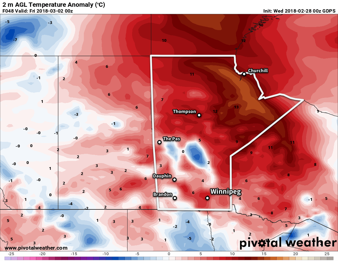
Winnipeg will see March will kick off the same way February ends: with high temperatures near 0°C bringing an early taste of spring to the region.
The mild weather Winnipeg has seen over the past couple days isn’t going anywhere. A mild Pacific flow will continue through the rest of the work week, bringing near-freezing highs to the region. Tonight and Thursday night will both see overnight lows near -10°C.

Winnipeg will see plenty of sun as well. A few clouds will move through the Red River Valley today, but then mainly sunny skies will be in place through Thursday and much of Friday. Some cloud will begin moving into the region late Friday ahead of a low pressure complex organizing in the United States. The cloud cover will keep Friday night’s low warmer, only dipping down to around -3°C.
Long Range Outlook – Winter Storm Brewing
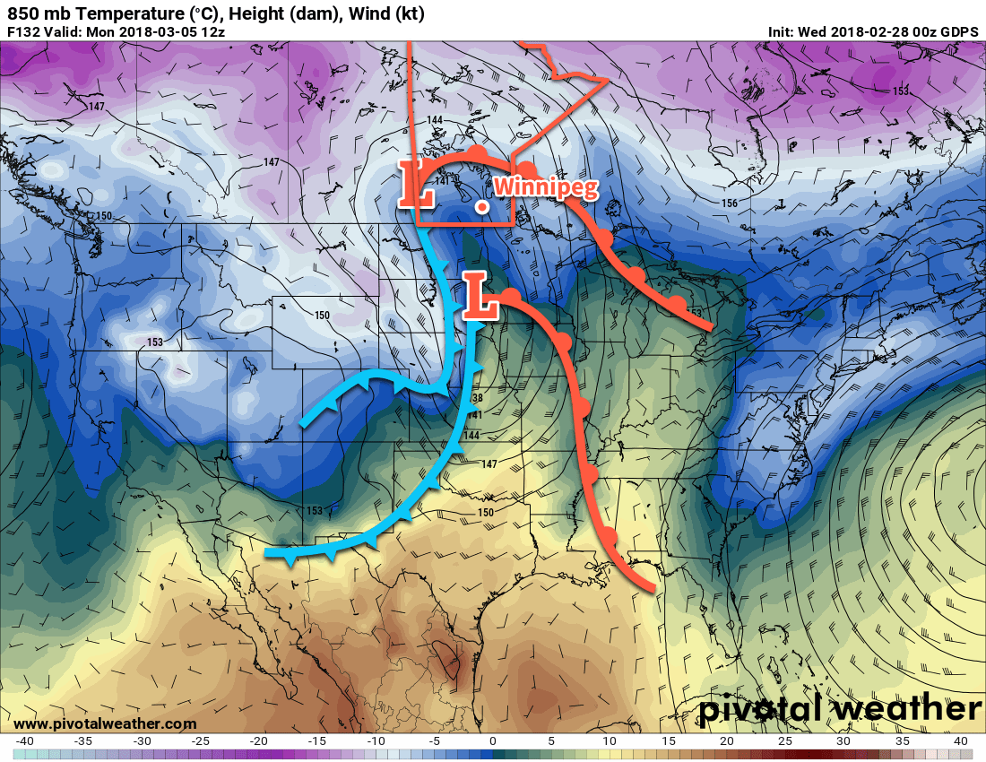
The weather will turn more unsettled for the weekend as a series of low pressure systems move through the region. Mild temperatures will continue in Winnipeg, but cloudy skies will persist through the weekend into the first half of next week.
There will be a couple of chances for snow – or even a rain shower – through the weekend. Come Sunday night through Monday, what may end up as the biggest storm thus far in the 2017/18 winter season moves through. While it’s too early to put much trust in any of the forecasts, some guidance suggests Winnipeg and the Red River Valley may see over 25 cm of snow with this storm system.

For now, just keep it in mind that there is the chance for a major snow storm to start next week. If you have travel plans involving driving on Monday, consider contingency plans just in case.
Until then, enjoy the beautiful sunshine and mild temperatures!
Winnipeg’s seasonal daytime high is currently -5°C while the seasonal overnight low is -15°C.
