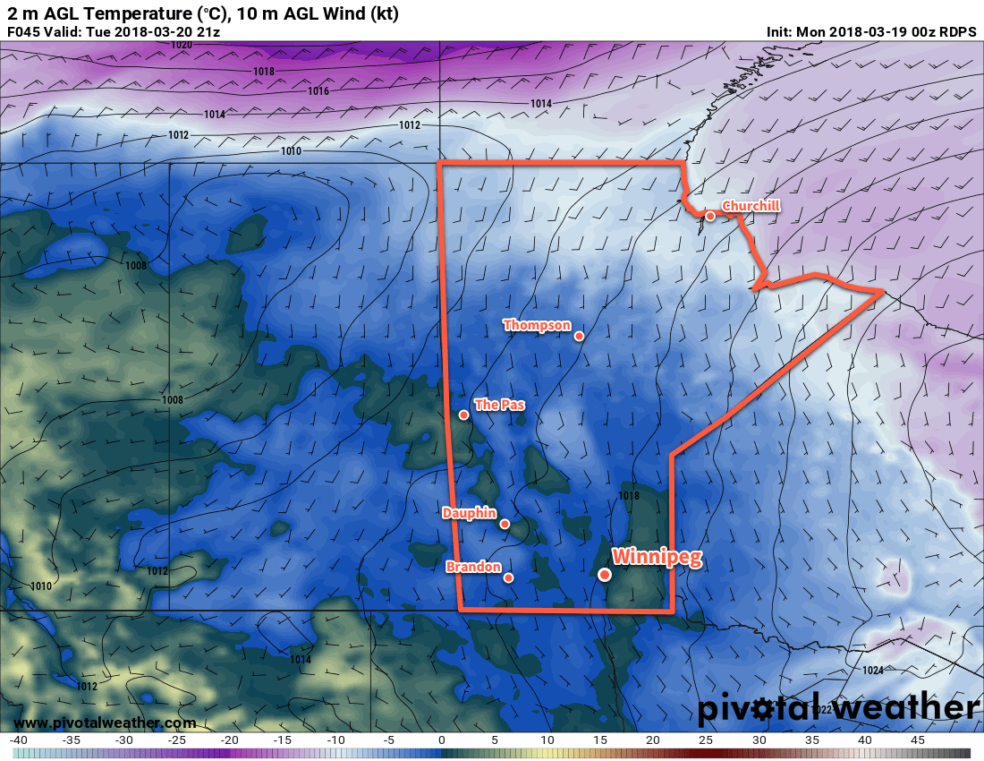
Seasonal temperatures will continue in Winnipeg this week, but with plenty of cloud and a bit of light snow.
Winnipeg will remain under cloudy to mostly cloudy skies for the next three days as a train of upper-level disturbances moves through the region. Temperatures will reach a high near -1°C under cloudy skies in Winnipeg today. Some light snow may develop in Winnipeg this afternoon as a weakling upper-level trough moves into Manitoba. The chance for light snow will continue tonight as temperatures dip down to a low near -7°C.
Tuesday will bring more cloudy skies to Winnipeg with a high near 0°C. The Red River Valley will continue to see a chance of light snow as the upper trough exits the province. All snow – if there is any – should taper off on Tuesday night as temperatures head to a low near -7°C.
Temperatures will climb above the freezing mark in Winnipeg on TuesdayWednesday will bring…more cloud to Winnipeg. Light winds over the coming 3 days will do very little to move the extensive area of cloud out of the region. So, under mostly cloudy skies Winnipeg should reach a high near +1 or +2°C. With more cloud around on Wednesday night, temperatures should dip to a low near -7°C yet again.
Long Range Outlook
Little change is forecast through the remainder of the week. Fairly cloudy conditions will remain in place, but temperatures will warm just a tad with highs climbing into the +3 to 5°C range. The weekend continues the cloudy prognosis, with increasing chances for light snow.
Winnipeg’s seasonal daytime high is currently 0°C while the seasonal overnight low is -10°C.

