Temperatures will drop significantly below seasonal values over the coming days as Arctic air surges southwards behind the Alberta clipper that brought mild temperatures to the region on Tuesday.
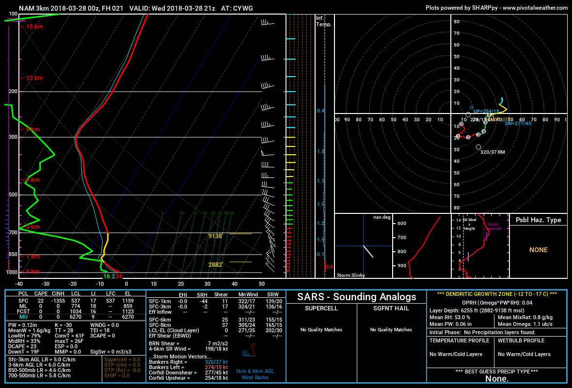
An Alberta clipper exiting the province this morning will usher in significantly cooler temperatures. Northwesterly winds will increase to 40 gusting 60 km/h this morning, cooling temperatures to around -5°C in the Red River Valley by late this afternoon. This cooling trend combined with the wind will make for a positively miserable feeling day. The morning cloud will break up, leaving mixed skies in Winnipeg and the Red River Valley, but the cold air diving southwards will produce instability in the lower atmosphere, bringing a chance of flurries that will persist until evening.

Winds will taper off this evening and Winnipeg will head towards an overnight low near -10°C under partly cloudy skies.
On Thursday, a mid-level disturbance moving from central Alberta southeastwards into North Dakota will bring increasing cloudiness to Winnipeg. Temperatures will reach a high near -5°C by midday, but then the Arctic front will drop southwards through the Red River Valley and send temperatures plummeting. Northerly winds of 20 to 30 km/h will persist behind the Arctic front into the evening. Much of southern Manitoba will see the potential for flurries along the Arctic front on Thursday afternoon.
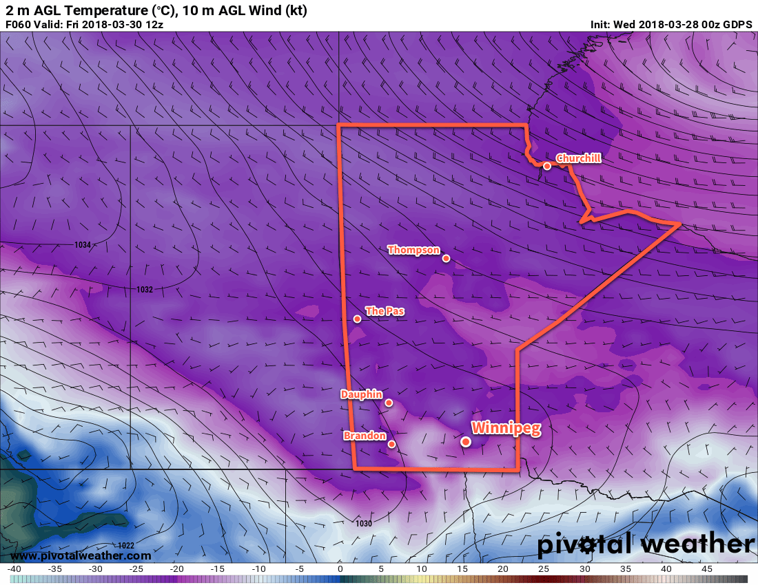
Significantly colder temperatures will move into the region behind the Arctic front, sending overnight lows down towards -19°C.1

Friday will be a downright chilly late-march day with partly cloudy skies as more clouds pop up for the afternoon. Light northwesterly winds of 10 to 20 km/h will continue with temperatures climbing to a high near -9°C. Temperatures should drop to a low near -18°C once again on Friday night.
Long Range Outlook
Temperatures will moderate slightly on the weekend, but the trend of below-seasonal temperatures is forecast to continue into the middle of next week. No significant precipitation events are forecast for the next 7 days.
Winnipeg’s seasonal daytime high is currently 4°C while the seasonal overnight low is -7°C.
- Sometimes models struggle with overnight lows under Arctic ridges. The GDPS is forecasting a low near -23°C, but tends to cool too much due to excessive radiational cooling. Most other models have solutions closer to -13 to -15°C, but that is likely too warm. We’ve picked 19°C as a relatively happy medium, a couple degrees colder than the Barthrom calculation would suggest to account for the advective cooling in the evening. ↩
