Winnipeg will see temperatures return to near-seasonal values to start a week that will see temperatures go on a bit of a roller coaster.
Winnipeg will see a whole bunch of sunshine today with temperatures climbing to a high near 14°C. It will be a bit breezy with northwesterly winds of 20 to 30 km/h in place behind a cold front that passed through late yesterday. Some cloud cover will begin working into the region late in the day and bring cloudier skies for much of the night. The cloud should clear out early Tuesday morning as temperatures head to a low near 0°C.

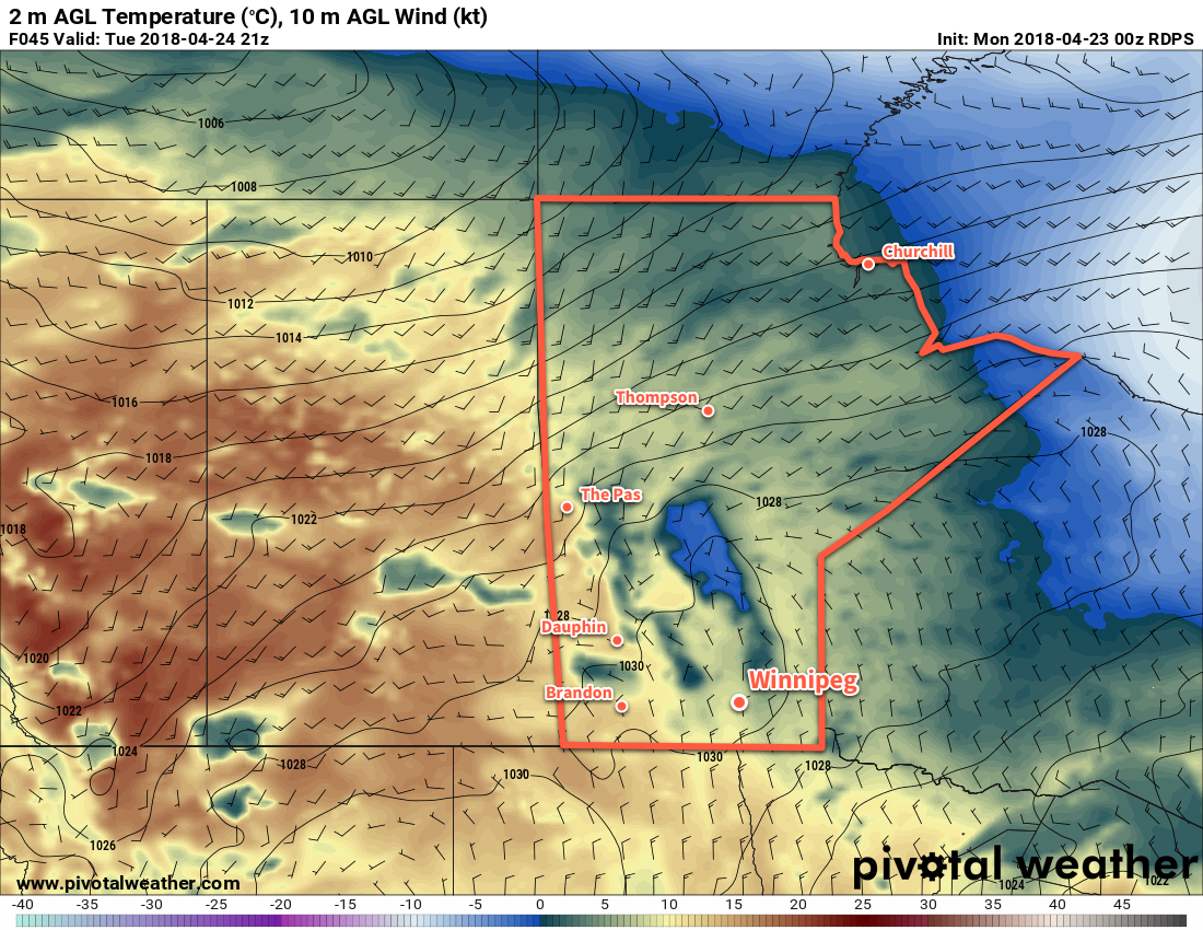
Tuesday will bring sunny skies to southern Manitoba as a ridge of high pressure moves through. With light winds and a high near 11°C, Winnipeg will see a slightly cooler-than-seasonal, but overall pleasant, spring day. Temperatures will dip to a low near +3°C on Tuesday night.
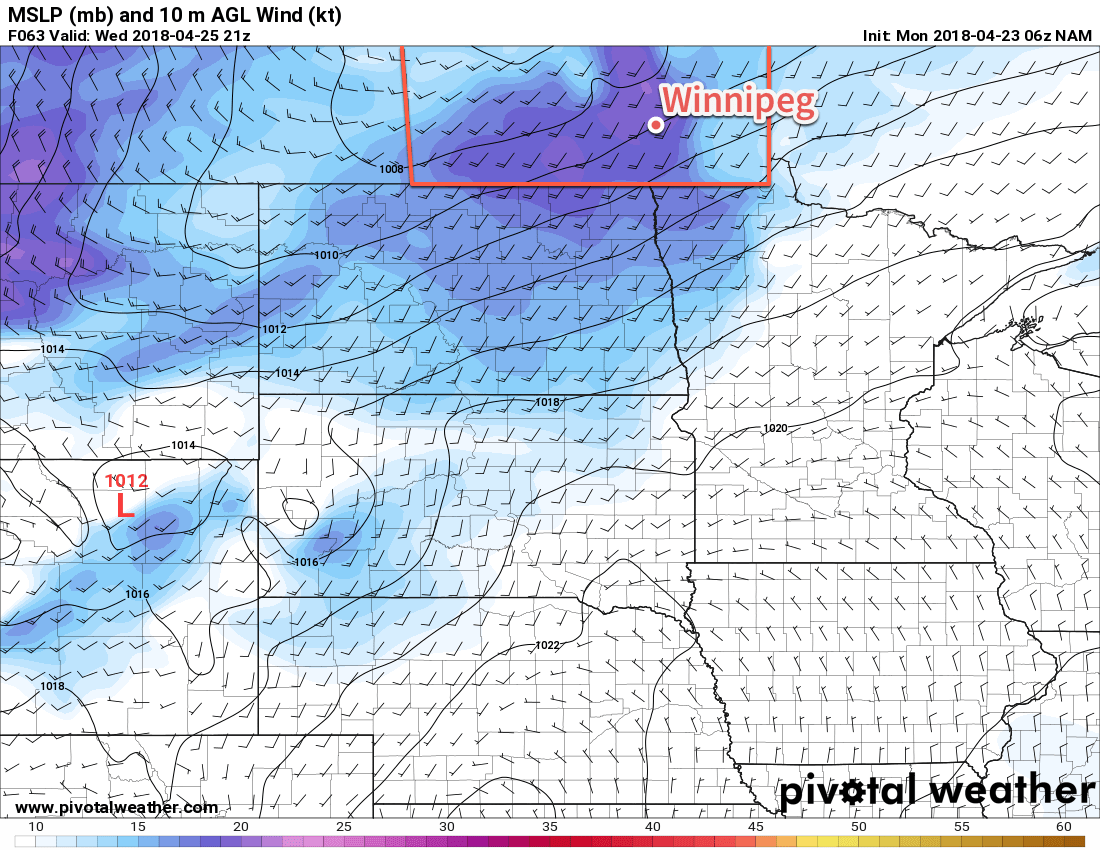
A low pressure system tracking through the northern Prairies on Wednesday will bring warm and windy weather back to the region. Temperatures will climb to a high near 19°C, but south to southwesterly winds of 40 to 50 km/h will develop in the Red River Valley.
These strong winds and continued dry weather1 will produce potentially dangerous fire conditions in the valley.

Skies will cloud over through the day followed by winds easing in the evening. After a few hours of calm, a cold front will push southwards through the Red River Valley, bringing a slight chance of showers to the region as it moves through followed by breezy northerly winds of 30 to 40 km/h. Temperatures will head towards a low near +4°C.
Long Range Outlook
Temperatures will continue on a roller coaster through the remainder of the work week. After Wednesday’s mild conditions, Thursday will bring significantly cooler temperatures to the region with highs falling back to seasonal to below-seasonal values. The fall is short, though, with temperatures rebounding back towards the 20°C mark through Friday and Saturday. At this point, the weekend is looking beautiful with temperatures in the upper teens or low 20’s and variable cloudiness.
What Winnipeg won’t see much of, though, is rain. Chances for precipitation continue to look minimal. At this point, it looks like the next chance for accumulating rainfall will be early next week; weather models are forecasting a rather complicated storm system pushing into southern Manitoba from Montana on Monday through Wednesday.
For now, enjoy the warmth and sunshine!
Winnipeg’s seasonal daytime high is currently 13°C while the seasonal overnight low is +1°C.
- Relative humidity values on Wednesday are forecast to hover around 20%. ↩
