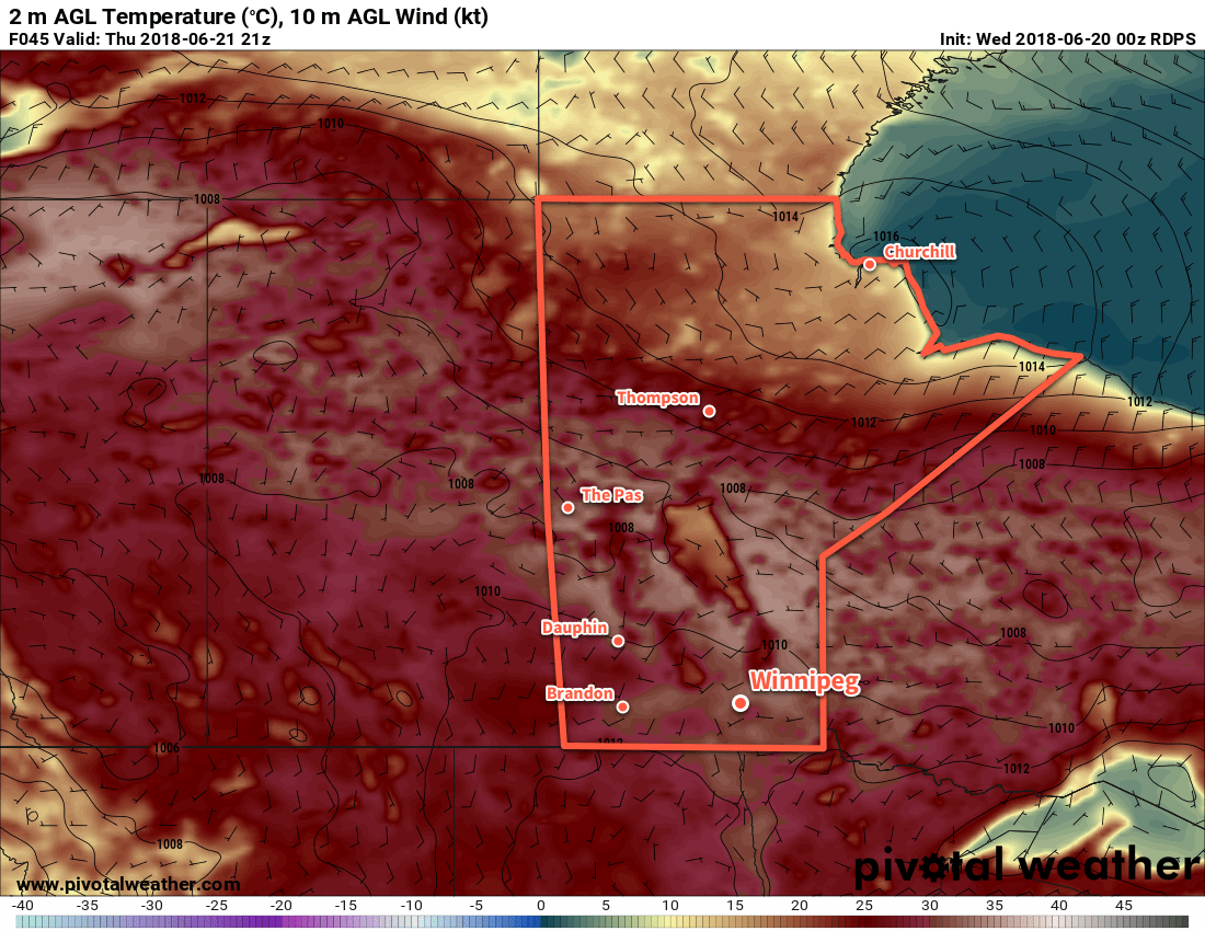
The summer heat will continue through the remainder of the work week with daytime highs climbing above 30°C.
A broad upper-level ridge building eastwards across the Prairies will continue to produce hot summer weather. While Winnipeg won’t see heat warnings like much of the northern Prairies are seeing1, that’s not to say that it won’t be hot. Temperatures will soar with daytime highs close to 30°C over the next several days. Overnight lows will also remain fairly warm with values in the upper teens.

Sunshine will be in abundance for the Red River Valley today and tomorrow. Some cloud will begin working into the region late Thursday as a low pressure system starts eastwards out of Alberta and across southern Saskatchewan. On Friday, skies will become mixed over the region and light southerly winds will bring more humid conditions to Winnipeg. By Friday evening, the chance for showers or thunderstorms will begin to creep back into the region.
Long Range Outlook
Saturday will continue to bring a chance of showers or thunderstorms to Winnipeg with mixed skies, but conditions will settle Sunday into the first half of next week. Temperatures will remain warm with highs in the upper 20s or low 30s and overnight lows in the upper teens.
It seems that the arrival of the summer solstice this year will be a marker for an extended stretch of hot summer weather!
Winnipeg’s seasonal daytime high is currently 24°C while the seasonal overnight low is 12°C.
- That’s largely because the criteria vary from region to region across the Prairies. In Manitoba, areas in the south require 2 consecutive days with highs of 32°C or greater with a low of 16°C or warmer between them. In northern Manitoba, the criteria is slightly lower with daytime highs of only 29°C needed. ↩
