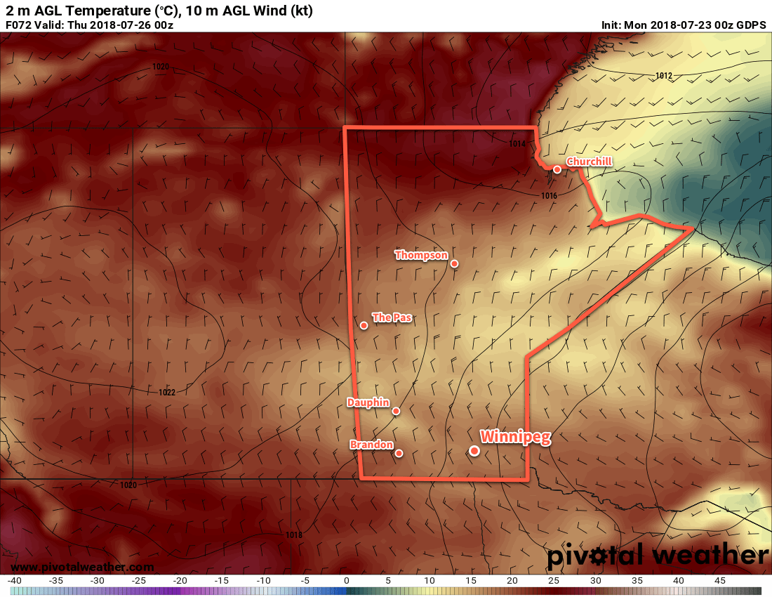
A persistent northwesterly flow aloft will gradually spread below-seasonal temperatures across Manitoba through the first half of the work week.
Southern Manitoba will see a shift into markedly cooler temperatures mid-week as a persistent northwesterly flow draws cooler air from the Arctic southwards. To start the work week, Winnipeg will see plenty of sunshine today with just a few clouds this afternoon. Winds will pick up out of the west to around 20 km/h midday as temperatures climb to a high near 24°C. Winds will ease this evening with temperatures falling to a low near 13°C under clear skies.
Tuesday will bring a bit more cloud to the region as a weak disturbance pushes towards the province from the west. Skies will become mixed in the afternoon with winds strengthening out of the west-northwest to 20 to 30 km/h. Winnipeg will see a seasonal high near 25°C. There’s slight chance of a rain shower in the evening as the disturbance moves through the region. Skies will become cloudy Tuesday night as temperatures head to a low near 12°C.

Decidedly fall-like weather will move into the region on Wednesday. With northwesterly winds increasing to near 30 km/h, Winnipeg will climb to a well below-seasonal high near 18°C. Skies will remain mostly cloudy with a chance of showers through much of the day. The winds will taper off in the evening, but skies will remain fairly cloudy for much of the night. Winnipeg will see a low near 10°C on Wednesday night.
Long Range Outlook
The remainder of the week will bring a return to near-seasonal temperatures with daytime highs rebounding into the mid-twenties. The Red River Valley will see plenty of sunshine with generally dry conditions persisting into the weekend.
Winnipeg’s seasonal daytime high is currently 26°C while the seasonal overnight low is 13°C.
