Above-seasonal temperatures under variable cloudiness will persist in Winnipeg through the rest of the work week.
Winnipeg’s weather story for the rest of the week will be one that sees the region grazed by disturbances passing to the south and to the north. The city won’t see much chance of precipitation as these move by, but they will provide plenty of cloud over the next three days.
The city will see mostly cloudy skies today as a low pressure system crosses the American Plains towards Lake Superior. The organized rain associated with this system will stay south of the border, but there may be a few showers that extend from southwestern Manitoba into the Red River Valley. These showers will likely miss the city and stay further south in the valley. The city will see a high near 13°C with light winds. Some of that cloud will break up tonight, allowing temperatures to drop to a low near +2°C.
Thursday will bring mixed skies to the region as the cloud from the American system continues to clear out but more cloud begins pushing in from the west. The wind should continue to be light and temperatures will be pleasant with a high near 15°C. During the #WPGWhiteout party, it looks like temperatures will be around 13°C for the start of the game. Temperatures will cool to around 8°C by the time the game ends. A bit of cloud will push in overnight as the city heads to a low near +3°C.
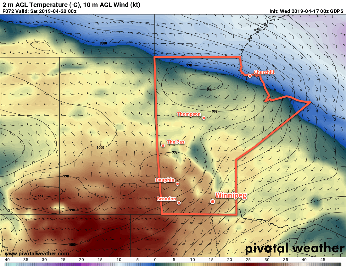
Skies will cloud back over on Friday as the next disturbance tracks across the northern Prairies. As it approaches, southerly winds will increase to 30 gusting 50 km/h. These southerly winds will draw milder air northwards from the United States. As a result, Winnipeg will see temperatures climb to a high near 17°C despite the cloudy skies. A low pressure system moving into southern Manitoba on Friday night will then spread a chance of rain into the region overnight. The wind will keep up much of the night, finally tapering off on Saturday morning. Because of the cloudy and breezy conditions, Winnipeg will see a mild low near 8°C on Friday night.
Long Range Outlook
Saturday will bring the chance of rain to the city as a low pressure system moves through the region. After it exits the region Saturday evening, variable cloudiness with near-seasonal temperatures will move in to end the weekend and kick off the work week.
Today’s seasonal daytime high in Winnipeg is 11°C while the seasonal overnight low is -1°C.

