Winnipeg will see a shift towards milder temperatures this week with daytime highs climbing into the upper teens.
A ridge of high pressure moving across the Red River Valley will bring sunny skies with northerly winds near 20 km/h. Temperatures will also be seasonably mild with highs around 17°C this afternoon. Under clear skies and light winds, temperatures will dip back down to a low near +3°C tonight.
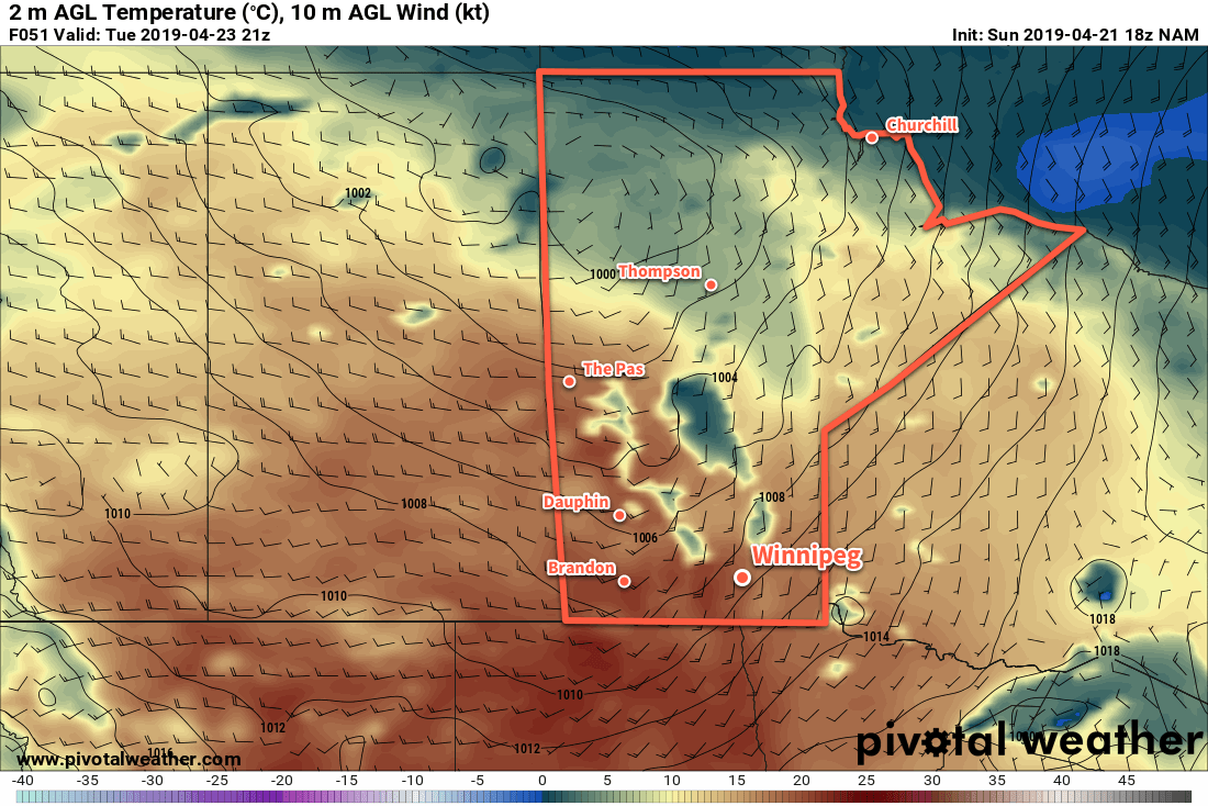
For Tuesday, Winnipeg will see afternoon cloud as a low pressure system tracks eastwards across the Prairies. Winds will strengthen from the south to around 30 gusting 50 km/h in the afternoon as a warm front moves through the region. Winnipeg should see a high near 19°C. Heading into the evening, the entire region will see a chance of showers. That chance will persist through much of the night as a little bit of cooling aloft moves in. Winnipeg’s low temperature will be a mild 9°C with a gradually diminishing wind.
By Wednesday morning, Tuesday’s disturbance should be leaving the region. In its wake will be partly cloudy skies and northwesterly winds of 20 to 30 km/h. With a high near 19°C once again, there may be enough instability left across the region to see a few showers pop up through the day. The wind will ease Wednesday evening and Winnipeg will head to a low near +4°C under partly cloudy skies.
Long Range Outlook
The rest of the week will bring near-seasonal temperatures to Winnipeg with increasing cloudiness into the end of the week. The next organized chance for precipitation looks to be on the weekend as a complex of low pressure systems moves across the Prairies and northern Plains.
Today’s seasonal daytime high in Winnipeg is 13°C while the seasonal overnight low is 0°C.

