Winnipeg will see seasonably cool temperatures over the next few days with sunshine giving way to cloudy skies for Sunday.
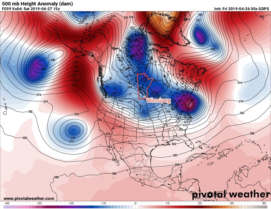
A ridge of high pressure moving across southern Manitoba will be the main [lack of] weather-maker over the next couple days. The ridge will bring seasonably cool temperatures to the region; Winnipeg should see highs near 12°C and overnight lows dipping below freezing on Friday and Saturday. That wind that was so prominent yesterday will also ease with the approach of the ridge. Winnipeg will see northwesterly winds of 20 to 30 km/h today that become light tonight through Saturday.

A low pressure system moving from Montana into the Dakotas will spread cloud cover into southern Manitoba on Sunday. Some light rain will spread into southwestern Manitoba through the afternoon, but the Red River Valley won’t likely see any rain until late in the day or the evening. Temperatures will stay cool with a high near 11°C as winds pick up out of the east into the 20 to 30 km/h range. Winnipeg and the Red River Valley look to have a good chance of some light rain overnight. Temperatures will dip to a low near +2°C as winds shift to the north through the night.
Long Range Outlook
Skies should clear through the Red River Valley on Monday, but temperatures will continue below seasonal values. The next chance for rain will move into the region Wednesday night into Thursday. In the wake of that disturbance, it looks like Winnipeg will return to more seasonal temperatures with variable cloudiness.
Today’s seasonal daytime high in Winnipeg is 14°C while the seasonal overnight low is +1°C.
