Winnipeg will see temperatures return to seasonal values with a chance of showers mid-week.
The Arctic ridge that has been keeping Winnipeg cool will finally begin shifting eastwards to start the week. As a result, the city will finally see a return to near-seasonal temperatures! Today will bring sunny skies to the region with temperatures climbing to a high near 19°C. Warmer temperatures working into the region will also keep overnight lows markedly milder. Winnipeg will drop to around 7°C tonight.
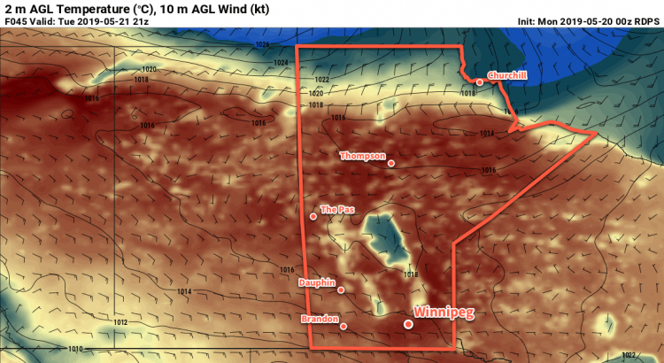
The exit of the Arctic ridge will also have the effect of allow an active storm track over the United States to slowly shift northwards. For Tuesday, this means that easterly winds will pick up to around 30 gusting 50 km/h with a few afternoon clouds. Fortunately, temperatures will return to fully seasonal values with a high near 23°C. Skies will cloud over Tuesday evening with continuing easterly winds near 20 km/h. The cloud and the wind will help keep temperatures mild in Winnipeg with a low near 8 or 9°C.
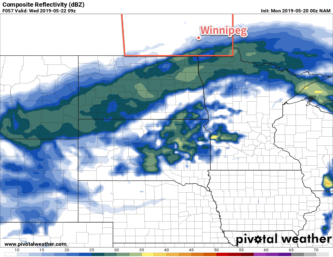
For Wednesday, a low pressure system lifting northwards through the Dakotas will spread some precipitation northwards into southern Manitoba early in the day. Winnipeg will see a chance of showers through the day, but they will be most likely in the morning. It will be a much cooler day with a high near 12°C and east-northeast winds near 30 km/h. Skies will stay cloudy on Wednesday night with a low near 7°C.
Long Range Outlook
The rest of the week looks like it will bring a fair amount of cloud cover with another chance for rain developing on Thursday night through Friday. Highs in the mid- to upper-teens will persist through the weekend.
Today’s seasonal daytime high in Winnipeg is 21°C while the seasonal overnight low is 6°C.


