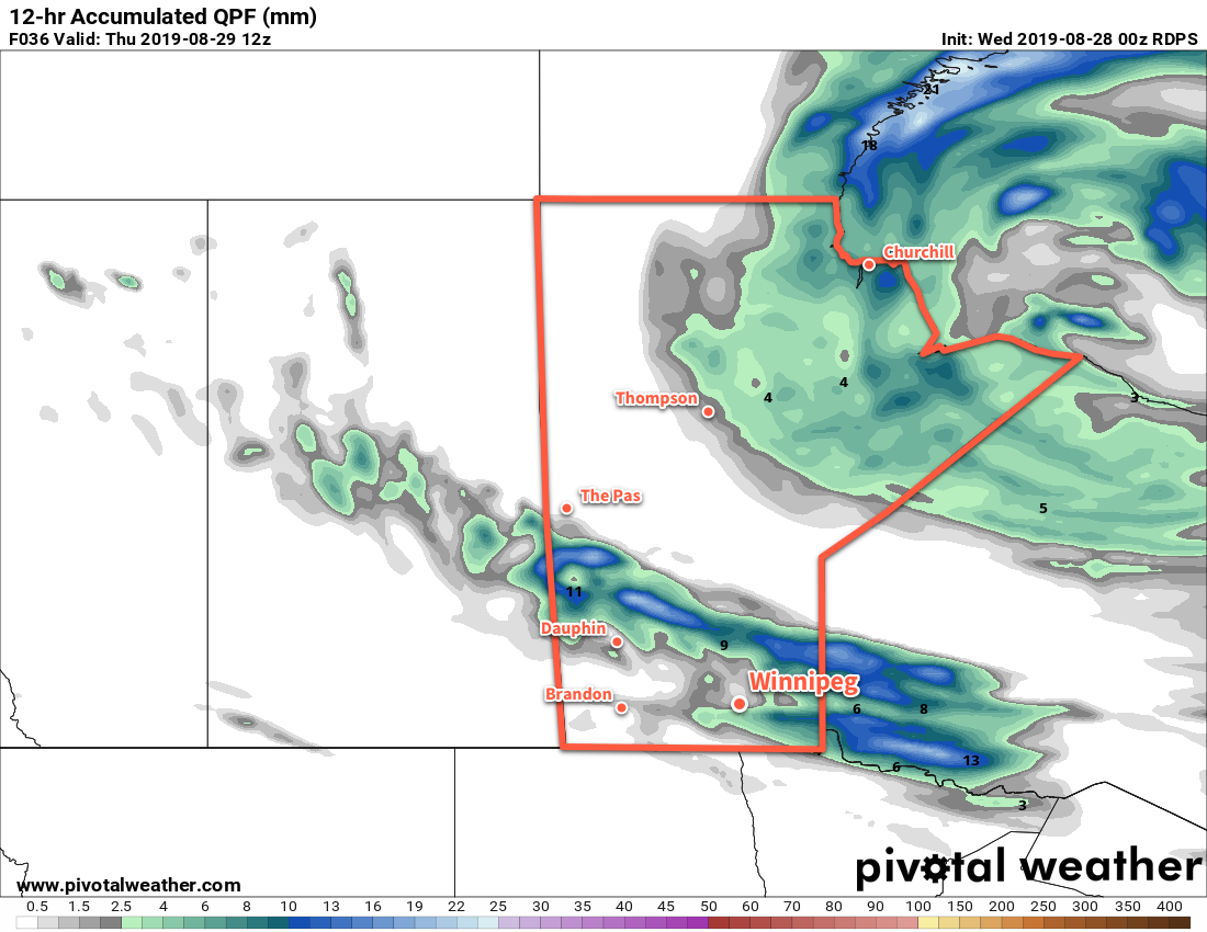
Winnipeg will see cooler daytime highs through the rest of the week with another chance of showers on Wednesday night.
The sun will make a reappearance in Winnipeg today after a rather unsettled start to the week. West-northwest winds near 30 km/h will continue through the day with a high near 21°C. Late in the day, cloud cover will begin to increase as a low pressure system moves in from the northwest. As it moves through tonight, Winnipeg may see a few more rain showers but most of this system’s precipitation is forecast to remain north across the Interlake. The cloud will help keep things a tad warmer through the night; Winnipeg should see a low near 12°C.
The cloud cover will gradually break up on Thursday morning, leaving the city with mixed skies that clear out for the afternoon. The wind will continue out of the northwest near 30 gusting 50 km/h, tapping into cooler Arctic air. Winnipeg should see a high near 20°C on Thursday. A ridge of high pressure moving in on Thursday night will ease the winds but also send temperatures plummeting to a low near 6°C.
The city will continue to see mainly clear skies on Friday with light northwest winds. Temperatures will climb to a high near 21°C. A few clouds will move on on Friday night as temperatures head to a low near 12°C.
Long Range Outlook
More cloud will move into the region this weekend as another low pressure system begins working across the Prairies. Several chances for showers will likely develop on Saturday through Tuesday as this disturbance works through the region. Temperatures will continue with highs mainly in the low 20s and overnight lows in the upper single digits or low teens.
Today’s seasonal daytime high in Winnipeg is 23°C while the seasonal overnight low is 10°C.

