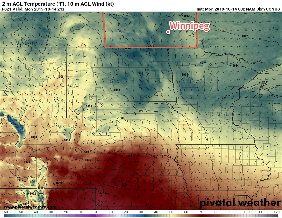
Southern Manitoba will continue to see plenty of cloud cover as the region continues to clean up after the historic winter storm last week.
Another low pressure system crossing the Prairies will keep Winnipeg locked under cloudy skies for the next few days. Between the lack of sun and the new snow pack covering the region, temperatures will stay well below seasonal averages. Over the next few days daytime highs will hover near 4°C while low dip to around freezing.
Winds won’t be much of an issue the next while, either. Light southerlies will persist today, switching to northerly on Tuesday as the low passes. Northwest winds of 20 to 30 km/h will develop for Tuesday, but a ridge of high pressure will bring light winds for Tuesday night into Wednesday.
The only notable weather will be as the low moves through tonight into Tuesday. A wintery mix of light precipitation will move through the Red River Valley overnight, leaving behind a chance of scattered rain showers or flurries for Tuesday. Accumulations will generally be light with 1 to 3 mm for most areas, but a narrow band of 5 to 10 mm may develop along the low track. The heaviest precipitation will remain south of Winnipeg, but whether it occurs in southern Manitoba versus North Dakota is still questionable.
Long Range Outlook
The sun will attempt to reappear in the latter half of the week as warmer air pushes eastwards across the Prairies. Exactly how warm temperatures are able to climb will depend on how much snow remains on the ground. More snow will mean temperatures stay locked into the low single digits. For any areas that are able to eliminate much of the snow pack, highs could climb into the low teens.
No precipitation is expected through the latter half of the week.
Today’s seasonal daytime high in Winnipeg is 11°C while the seasonal overnight low is 0°C.

