Spring weather arrives in Winnipeg today with plenty of sunshine and a return to seasonal temperatures. The weekend will bring unsettled conditions as a pair of disturbances move through.
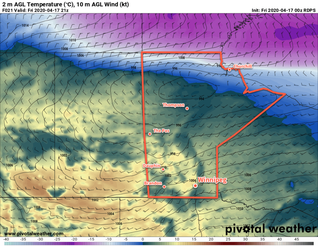
Seasonal temperatures will return to Winnipeg today as a breezy southwest wind pushes milder Pacific air back into the region. Winds will strengthen to 30 gusting 50 km/h through the morning under sunny skies. As a low pressure system moves towards the province from the northwest, a few clouds will begin to arrive through the afternoon.

Skies will cloud over this evening as the low moves through the region, bringing with it a chance of showers. Winds will ease, then shift northwesterly overnight as a cold front swings through. The cloudy conditions will persist on Saturday with a lingering chance for showers gradually tapering off. It will be cooler on Saturday as northwest winds of 30 to 40 km/h limit temperatures to just a couple degrees above tonight’s low.
Skies will clear out later on Saturday afternoon, then winds will ease and temperatures will dip below freezing on Saturday night.
Another low pressure system will approach the region on Sunday, bringing increasing cloudiness and breezy west-southwest winds again. Temperatures will again climb into the mid-single digits. By the afternoon, a chance of showers will develop, but much of the precipitation is forecast to fall north of the area. Much of the cloud will stick around on Sunday night with a continued chance of showers or flurries.
Long Range Outlook
Conditions will improve next week when a more sustained period of seasonal temperatures moves into the region. A westerly flow will bring several disturbances across the province through the week, resulting in variable cloudiness and a few chances for rain.
Today’s seasonal daytime high in Winnipeg is 11°C while the seasonal overnight low is -1°C.
