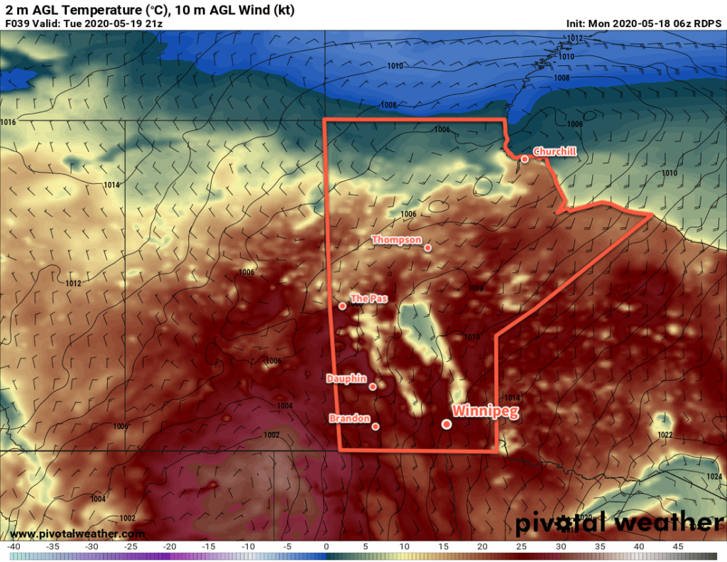
Winnipeg will rapidly switch to full summer mode as breezy southerly winds usher in markedly warmer temperatures.
What a difference a week makes! Just last Monday temperatures were as low as -10°C with highs struggling to reach a well below-seasonal 8°C. Now, temperatures will continue to climb as summer settles into the region. A slow-moving low over the western Prairies will support a southerly flow over Manitoba through the coming week, pumping heat northwards out of the American Plains.

Winnipeg will see daytime highs in the mid-20s over the next few days while overnight lows slowly climb into the upper teens. Alongside the warmer weather, a persistent southerly wind will be in place over the region. Winds will generally strengthen into the 30 to 40 km/h range through the day, the ease into the 20 to 30 km/h range at night. The humidity will also climb over the coming days with dew points climbing into the low teens by Wednesday.
The city will also see plenty of sun over the next few days. Skies will be partly cloudy today with a bit more cloud in the morning than the afternoon. Skies should stay mainly sunny on Tuesday, then a bit more cloud moves in for Wednesday with mixed skies.
Long Range Outlook
The warm weather will continue through the rest of the week, but with increasingly unsettled conditions. By Friday, the region will likely see the chance for scattered showers or thunderstorms. A cold front is forecast to push through late Saturday, bringing near-seasonal temperatures back to the region for Sunday with another chance of showers.
Today’s seasonal daytime high in Winnipeg is 20°C while the seasonal overnight low is 6°C.
