Winnipeg will see a variety of weather conditions over the next few days, but the early-fall warmth will continue through much of the week.
Winnipeg will start the week with windy conditions as a large low pressure system passes by to the north. The city will see mainly cloudy skies today with west-southwest winds of 40 gusting 60 km/h. Temperatures will climb to high near 22°C. The city will see a slight chance of a passing shower, but most of the rain should keep to the north. The cloud cover will being exiting the region late in the day, leaving the city with clear skies tonight. Winds will ease and then shift southerly overnight as temperatures dip to 7°C.
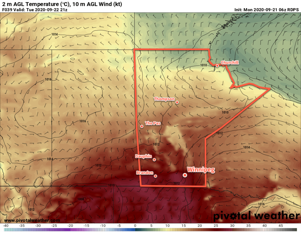
Summer-like warmth returns on Tuesday as southerly winds of 20–30 km/h send highs into the upper 20s. Winnipeg will see mainly sunny skies and a high near 28 °C. Winds will ease in the evening then shift northerly overnight as temperatures head to a low near 13°C. Some cloud associated with an approaching cold front will push into the area overnight.

On Wednesday, Winnipeg will once again see mostly cloudy skies and a chance of rain. The interplay between a cold front pushing south and an organized disturbance sliding through North Dakota will be the features that create the weather. Temperatures will be a bit cooler, but still seasonably mild with a high near 19°C. Northerly winds will persist through the day at 20–30 km/h as well. The winds will ease on Wednesday evening as skies clear and temperatures will head to a low near 7°C.
Long Range Outlook
Milder weather returns for the rest of the week with highs again returning into the low 20s. The city will see variable cloudiness with another chance for some rain on Thursday night as another disturbance moves through the region.
Today’s seasonal daytime high in Winnipeg is 17 °C while the seasonal overnight low is 5 °C.
