The bitterly cold Arctic air that has lead to several tragic deaths across Western Canada will stay entrenched over the region for the rest of the week.
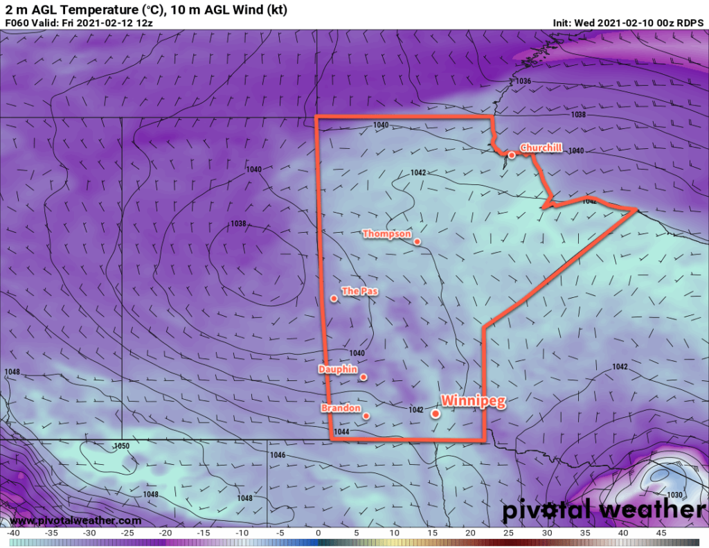
The polar vortex will gradually slump through Manitoba in the second half of the week, sustaining the dangerously cold weather in the region. Daytime highs will fall back into the mid-minus 20s by the end of the work week with overnight lows in the minus 30s. Winds will stay light over the next few days.
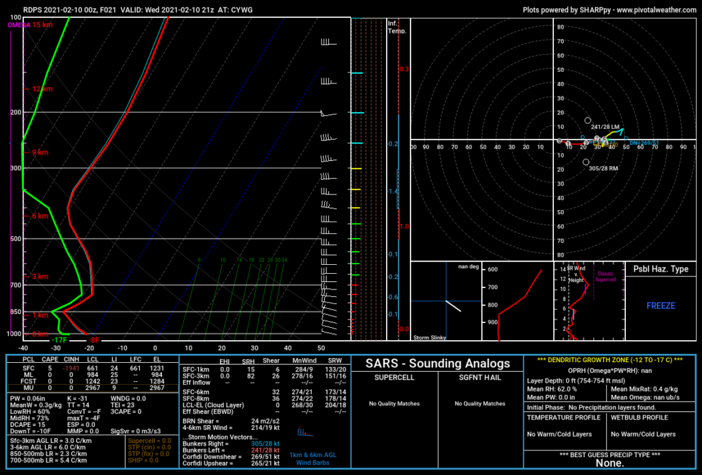
Much of the region will see mixed skies with some flurries develop today as temperatures warm and low-level instability develops. Similar to yesterday, the air aloft is so cold that its able to generate cumulus clouds even with surface temperatures in the -20s. The clouds will taper off overnight, and then redevelop on Thursday. With slightly colder temperatures tomorrow, there will be less of a chance for flurries.
Sunny skies return on Friday.
Long Range Outlook
The bitter cold will stay in place for Saturday, but finally some relief will start developing on Sunday. Temperatures will warm back towards -20 °C on Sunday, followed by a gradual trend towards seasonal values through next week.
Today’s seasonal daytime high in Winnipeg is -9 °C while the seasonal overnight low is -20 °C.


