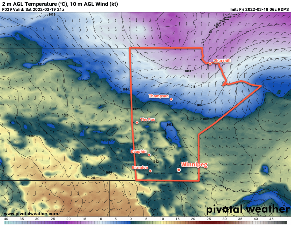
Daytime highs will continue to hover above freezing across southern Manitoba, continuing the gradual spring melt across the region.

Winnipeg will see several days of benign weather ahead. Temperatures will climb above freezing each day with lows dipping back below 0 °C. Dew points will stay below freezing, which will help ensure a more gradual snow melt across the region. The continued spring melt will produce variable cloudiness over the next few days with a continued chance for morning fog patches. Wind-wise, breezy southerlies will give way to lither westerlies later today, followed by lighter winds gradually shifting easterly through the weekend.
Long Range Outlook
The next disturbance to impact the area will move through later Monday into Tuesday. An upper trough will move into central North America, producing an area of rain extending from the Gulf Coast northwards into the central American Plains. That rain will be sheared northwards along a deformation zone into a secondary shortwave tracking through the Prairies. This will bring rain/snow mix to southern Manitoba; depending on the speed of the system, it could result in notable rainfall through the Red River Valley.
Otherwise, the forecast is much of the same. Daytime highs continuing to sit above freezing with a refreeze overnight. Dew points below freezing should moderate the rate of snow melt, helping with the flooding risk. Enjoy the gradual return to spring!
Today’s seasonal daytime high in Winnipeg is 0 °C while the seasonal overnight low is -10 °C.
