Southern Manitoba will see the spring melt continue for a few more days, but cooler conditions are on the way for the weekend.
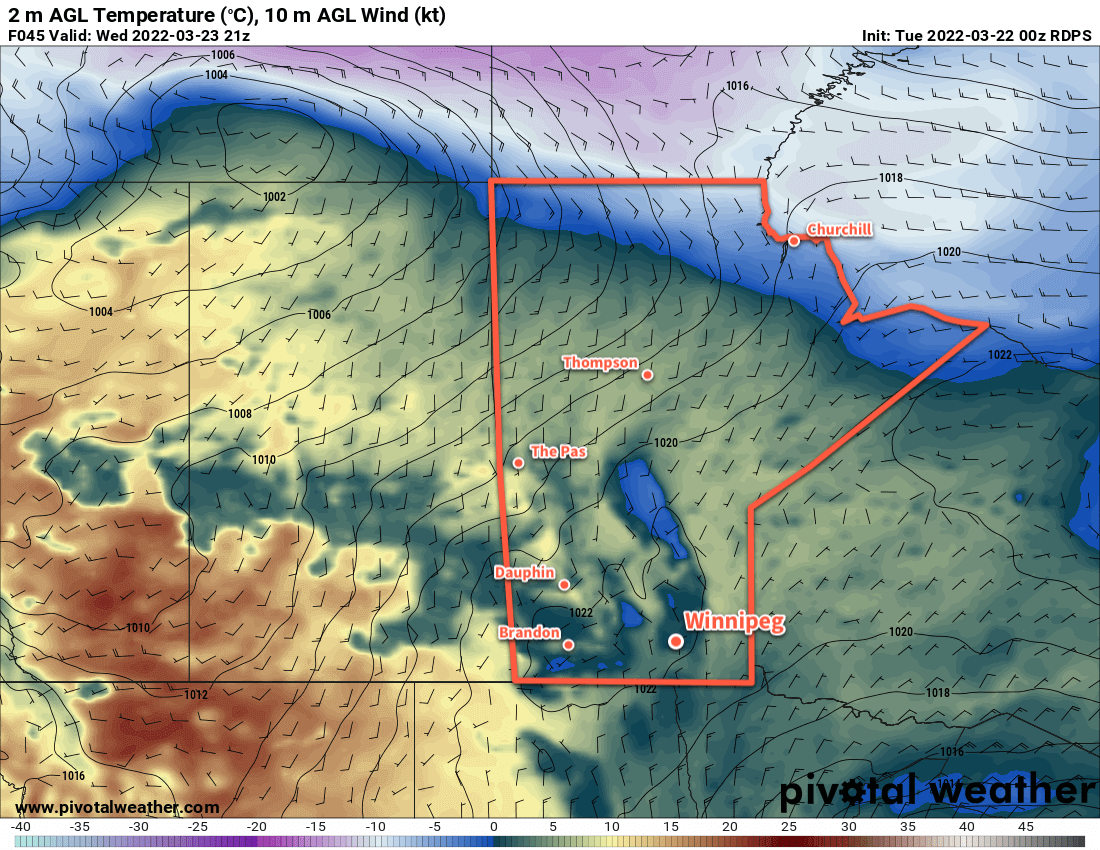
Mainly cloudy skies will linger behind the system exiting the region today as the moisture added to the air by the recent rain and melting snow keep things damp. A few sunny breaks will be possible over the next couple days, but organized clearing won’t arrive until Wednesday evening.
The region will see freeze-thaw cycles over the coming days with highs several degrees above freezing and lows below. This will further the — quite honestly, shocking in its rapidity — deterioration of Winnipeg roadways. If you value your tires, avoid those potholes!
Fog patches will also be possible overnight through the next several nights.
Some clearing will move into the region mid-week, but more cloud will arrive later on Thursday as another low pressure system crosses the northern Prairies. Thursday will be the warmest day over the next few with a high climbing above 5 °C, but a cold front will sweep through on Thursday night. It will usher in moderate northwesterly winds along with some more rain showers or flurries Thursday night into early Friday morning.
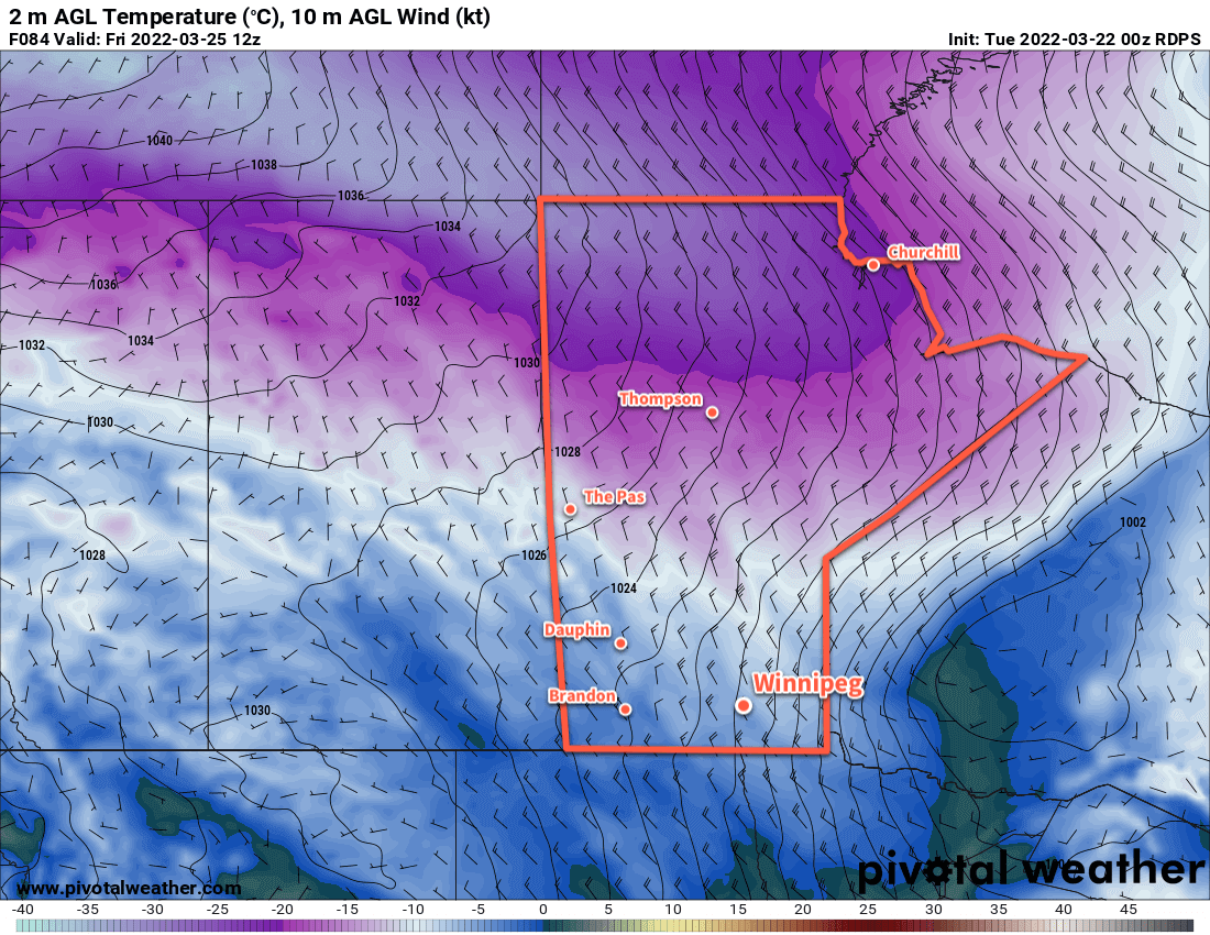
Once that system exits the northern Prairies, a lobe of the Polar Vortex will shift southwards into southern Nunavut. As it does so, cooler air will also push into the Prairies. This won’t result in any sort of deep freeze, but highs will dip down below zero for the weekend.
Long Range Outlook
The spring melt will resume next week as highs climb back up above freezing again. It’s likely that the region will see a lot more cloud as the pattern turns more unstable again, and more rain or snow may be possible in the first half of the week.
Today’s seasonal daytime high in Winnipeg is 1 °C while the seasonal overnight low is -9 °C.