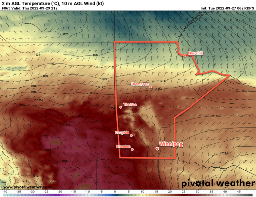
The cool conditions starting the week off will be replaced by warmer weather as an upper ridge moves across the Prairies.

Winnipeg will start the day off today with a touch of frost courtesy a strong high pressure system sitting over the province. This system will keep skies sunny and temperatures seasonal with highs in the mid-teens this afternoon. Temperatures will dip back down into the low single digits tonight with a light southerly wind developing. Sub-freezing temperatures are unlikely in Winnipeg tonight, but outlying areas could see temperatures touch the freezing mark.
Heading into the rest of the week, the high responsible for the cool weather will shift off into Ontario and an upper ridge will build in behind it. This will bring warmer weather back to southern Manitoba and shift the region into an extended period of seasonably warm conditions.
Mainly sunny conditions will persist through the rest of the week with daytime highs climb into the low 20s and overnight lows in the upper single digits. Wednesday will be more of a transition day, though, with a strong southerly wind up to 50 gusting 70 km/h and a high in the upper teens.
There’s just the slightest chance of a light shower on Wednesday evening, otherwise it will be dry through the rest of the week.
Long Range Outlook
Some cloud is possible later Friday into Saturday, but temperatures should continue to be seasonably mild. Mainly sunny conditions are forecast to return Sunday and continue into much of next week. The forecast shows no notable precipitation in the next 10 days.
Today’s seasonal daytime high in Winnipeg is 15 °C while the seasonal overnight low is 4 °C.
