It will be a cold week in Winnipeg with below-seasonal temperatures and variable cloudiness.

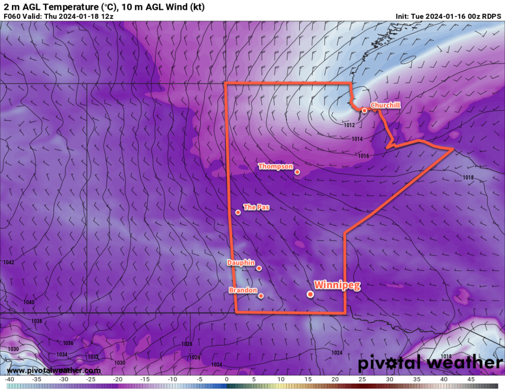
The Polar Vortex will sit over eastern Canada this week with a cold trough hanging westwards across the Prairies. As a result, much of the region will see below-seasonal temperatures; fortunately, the ruthless cold that was entrenched over the western Prairies will moderate away from those extreme values.
In Winnipeg, the city will see more light snow today with skies on the cloudier side through Wednesday. Daytime highs will climb into the -15 to -20 °C range with west-northwest winds of 20 to 30 km/h. The snow won’t accumulate too much; the city may see a few centimetres accumulation over the next several days.
Overnight lows will mainly sit in the -25 to -20 °C range. Winnipeg and area will likely see more sunshine in the second half of the week.
Long Range Outlook
Heading into the weekend, the Polar Vortex is forecast to finally shift eastwards out to the Atlantic, weakening the cold air over the Prairies and allowing a more progressive pattern to develop. Upper ridging will build into the Prairies over the weekend, spreading milder air into the western Prairies.
This will help bring temperatures back to seasonal values through the weekend, although will likely bring cloudy skies back to the region.
Next week, skies will continue on the cloudier side, but temperatures will climb to above-seasonal values. Daytime highs will climb back towards the -5 °C mark with lows close to -10 °C.
Today’s seasonal daytime high in Winnipeg is -13 °C while the seasonal overnight low is -24 °C.
#awm #snow #below_seasonal_temperatures
