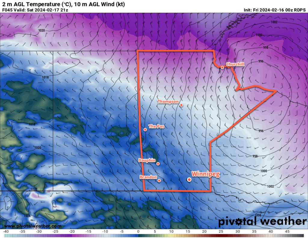
It’s a cold start to the day in Winnipeg, but the first cold night marks the end of this cold snap; warmer weather is surging back across the Prairies.

The cold weather this morning will break quickly as westerly winds move into the region with a warm front pushing through. Temperatures will warm from the mid-minus 20s this morning to an afternoon high near -10 °C. Westerly winds will pick up through the day to around 30 km/h in Winnipeg. The sun will make an appearance this morning, but skies will cloud over through the day.
The winds will continue through the night with temperatures near -10 °C. There will be a chance of flurries overnight.
Saturday will bring cloudy skies to Winnipeg with a few sunny breaks possible in the afternoon. Behind the warm front, daytime highs will climb into the -5 to 0 °C range with breezy westerly winds up to 40 km/h. Temperatures will then dip to a low near -10 °C under partly cloudy skies on Saturday night.
Light northerly winds will continue on Sunday with a cooler high than Saturday, topping out near -5 °C in the afternoon. Winnipeg should see plenty of sunshine, though, which will be a nice change from the recent warmth. It will be another cool night on Sunday night as a cold front slumps through southern Manitoba. Overnight lows will likely dip into the -20 to -15 °C range with mainly clear skies.
Long Range Outlook
An upper ridge will continue to build across the Prairies next week, keeping temperatures near to slightly above-normal through the first half of the week. A cold front will begin to slump southwards mid-week, bringing a chance of snow to the region followed by cooler temperatures to end the week.
The pattern after that is uncertain, but it looks like the region could be in for near-seasonal temperatures with more frequent chances for snow heading through the weekend and into next week.
Today’s seasonal daytime high in Winnipeg is -8 °C while the seasonal overnight low is -18 °C.
